
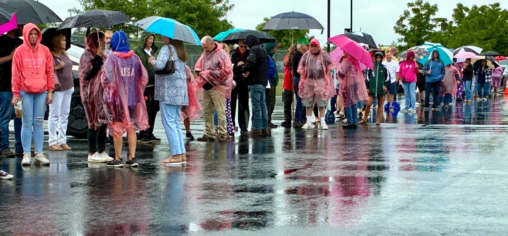
The Lehigh Valley could see showers and storms lingering Tuesday after days of intense heat and storms.
There is a chance of showers and even thunderstorms during the day, according to the National Weather Service in Mount Holly, New Jersey. A high of 76 is expected, which is a significant departure from the highs near 100 the area experienced just days earlier. Less than half an inch of rain is expected.
Wednesday should be clear with highs in the low 80s. A cold front should come to the region Thursday and bring more rain, but forecasters said the risk of thunderstorms or flooding is lower than what the area dealt with over the weekend.
Temperatures jumped into the upper 90s and even over 100 last week during an extended period of intense heat. The Lehigh Valley was under an extreme heat warning for several days.
A ‘Super El Nino’ could be on its way. Here’s what that would mean for Lehigh Valley
Additionally, storms caused damage and knocked out power to thousands over the weekend. Over an inch of rain fell throughout the holiday weekend, according to weather service data.
The upcoming weekend should be sunny, with highs in the 80s. Here is the extended forecast from the National Weather Service:
Wednesday: Mostly sunny, with a high near 82. Calm wind.
Thursday: A chance of showers, then showers and possibly a thunderstorm after 2 p.m. High near 85. Calm wind becoming southwest around 5 mph in the afternoon. Chance of precipitation is 80%. New rainfall amounts between a 10th and quarter of an inch, except higher amounts possible in thunderstorms.
Friday: A chance of showers and thunderstorms after 2 p.m. Partly sunny, with a high near 89. Chance of precipitation is 50%.
Saturday: Mostly sunny, with a high near 86.
Sunday: Mostly sunny, with a high near 85.
Monday: Mostly sunny, with a high near 87.