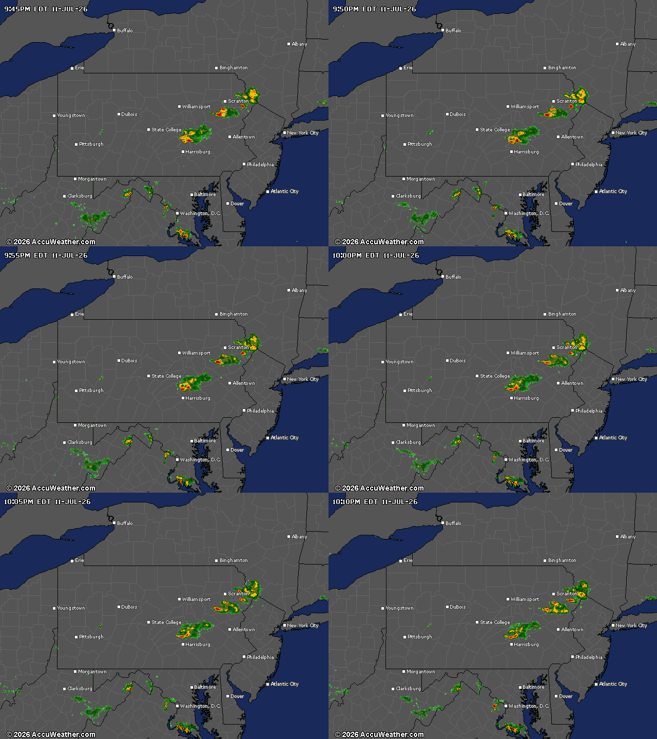
Unsettled weather will persist across the Lehigh Valley through Saturday as a cold front slowly moves through the region, bringing scattered showers and thunderstorms.
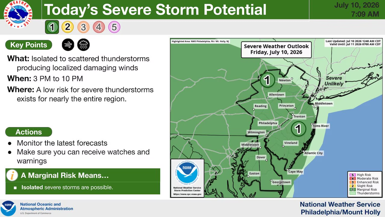
Friday, scattered showers and thunderstorms are expected to develop during the afternoon and evening, according to the National Weather Service.
The weather service’s Storm Prediction Center forecasts a Marginal Risk (1 out of 5) for severe weather across the region, though the threat for widespread severe thunderstorms remains limited due to weaker wind shear.
Some flash flooding cannot be ruled out across urban areas or locations that have received significant rainfall over the past week. Winds will be out of the west and northwest around 5 to 10 mph.
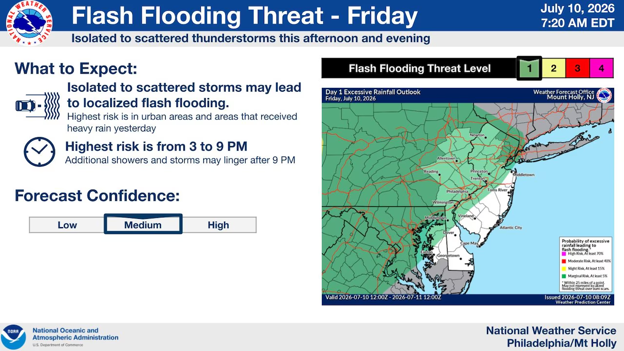 Unsettled conditions will persist into the weekend as a cold front moves through, bringing afternoon and evening thunderstorms with isolated flooding potential in urban areas before conditions improve Sunday, July 12, 2026.National Weather Service
Saturday will bring one final day of unsettled conditions as the cold front continues its slow passage through the region. Showers and thunderstorms are expected to develop along and south of the front, with most activity focused along and south of Interstate 76 and Interstate 195.
Similar to Friday, flash flooding potential remains low overall Saturday, but isolated flooding remains possible over areas that have experienced significant rainfall in the past seven days and in urban areas.
At Lehigh Valley International Airport, the weather service forecasts a 30-40% chance of precipitation Friday and Saturday, mainly from around 2 p.m. into the evening both days.
The cold front should finally clear the area by Saturday night, ushering in a period of dry weather beginning Sunday. These drier and warmer conditions returning by the end of the weekend are expected to continue into next week.
Temperatures through Monday are forecast near seasonal averages, before climbing above normal Tuesday through Thursday with highs forecast near 90 degrees in the Lehigh Valley.
Current weather radar