
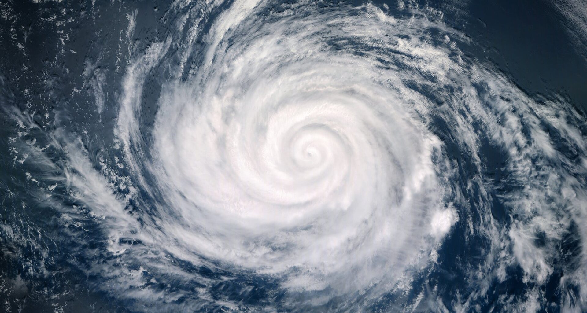
While we’ve certainly had our taste of summer on the East Coast over the past several weeks, many forecasters are turning their eyes to August and the peak of hurricane season.
According to a USA TODAY Network report, when it comes to precipitation, 2026 is an El Niño year. El Niño conditions tend to cause wet periods along the East Coast. This year, however, the extended forecast calls for a drier August compared to the first half of summer, which has been wetter, according to WeatherWorks, a New Jersey-based forecasting company.
El Niño is also expected to reduce hurricane activity in the Atlantic. Forecasters say that while they cannot completely rule out the possibility of a hurricane developing, the season is expected to be quieter and less active than in previous years.
NOAA estimates a 97% chance that El Niño conditions will continue through early spring 2027. Impacts from El Niño, similar to La Niña, are generally the most consistent and pronounced from late autumn through early spring, according to NOAA.
“The more consistent impacts on precipitation and temperature don’t occur until the winter months, so for 2026-27,” Michelle L’Heureux, physical scientist at NOAA’s Climate Prediction Center, explained.
Looking beyond the summer, NOAA is anticipating warmer-than-average temperatures across the northern half of the United States during meteorological winter (December to February). El Niño generally increases the odds of above-average snowfall in the mid-Atlantic and along the coastal Northeast, according to Action News 6abc.
According to an Action News 6abc report, El Niño refers to the warmer-than-average phase of the El Niño-Southern Oscillation (ENSO). This natural cycle occurs when sea surface temperatures across the central and eastern equatorial Pacific Ocean rise and fall. The cooler-than-average phase is known as La Niña. Near-average conditions are known as ENSO-neutral.