
A wave of severe storms is passing through our area. Here’s everything you need to know.
LATEST WEATHER FORECAST
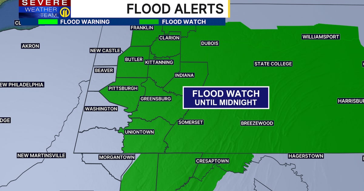
Scattered strong to severe thunderstorms are expected this evening with a Severe T-storm Watch in effect for the entire viewing area until 9 p.m. tonight. In addition to damaging winds and isolated tornadoes, heavy rain can lead to localized flooding.
Less humid air will move in late tonight and Sunday, offering a much more pleasant feel to the air. Skies can again get smoky, but it won’t be nearly as thick as what we had in the last few days.
Another surge in humidity and thunderstorms is expected Tuesday with the next cold front. Behind that, our weather will turn seasonably cool for a change with highs only in the 70s for the middle of next week.
LATEST WARNINGS AND LIVE UPDATES
UPDATE 7:48 p.m.
A FLASH FLOOD WARNING has been issued for parts of Allegheny, Beaver and Washington counties.
UPDATE 7:33 p.m.
A SEVERE THUNDERSTORM WARNING has been issued for parts of Butler, Clarion, Mercer and Venango counties.
UPDATE 7:28 p.m.
A SEVERE THUNDERSTORM WARNING has been issued for parts of Allegheny, Jefferson, Washington and Westmoreland counties.
Tim McGraw fans have been asked to seek shelter at the concert happening at the Pavilion at Star Lake.
Download the FREE WPXI News app for breaking news alerts.
Follow Channel 11 News on Facebook and Twitter. | Watch WPXI NOW
TOP STORIES FROM CHANNEL 11 NEWS
©2026 Cox Media Group