

DETAILED FORECAST
After a mixed morning filled with quiet lulls and heavy downpours, this evening is looking to bring us another round of showers and scattered severe thunderstorms.
Between the brief clearing some areas have experienced, high humidity levels, abundance of water in the atmosphere, as well supportive atmospheric dynamics, all the ingredients for some severe weather are present. The timeframe for these severe storms currently looks to be from mid-to-late afternoon and follow into the early evening hours. Once we get into the late evening and overnight hours, our severe threat will be gone, but showers will linger to dampen the early overnight period.
DOWNLOAD: 69News Weather App Watching the Weather: Get the latest forecasts, local radar,… (more)
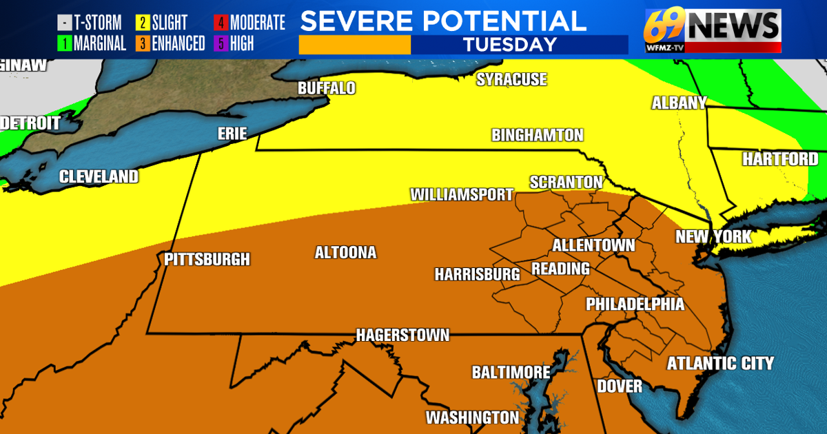
Most of Pennsylvania and New Jersey are in an Enhanced Risk, or a level 3 of 5 from the Storm Prediction Center, for potentially severe thunderstorms today. A risk for severe storms does not guarantee that everyone will see them, though. It simply highlights the areas that have the greatest potential to see storms that produce either strong, damaging wind gusts, large hail, or tornadoes.
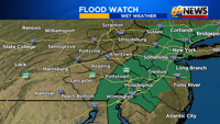
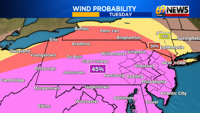
When it comes to the primary threats with todays storms, the most pertinent threats associated with the storms today will be strong, damaging winds with gusts in excess of 60+ mph and excessive rainfall. With this, a Flood Watch is in effect for portions of Southeastern Pennsylvania, Central New Jersey, and Northern New Jersey through tonight. Areas most prone to flash flooding are those in areas with poor drainage, and near low-lying creeks, rivers, and streams. Do not drive into flooded roadways if flash flooding does occur in your area.
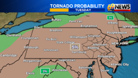
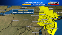
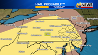
Other threats, albeit not as high, associated with these storms are hail and the possibility for an isolated tornado. Eastern Pennsylvania and all of New Jersey are under a Tornado Watch until 9 PM Tuesday. As a reminder, watches are when conditions for tornadoes are possible because conditions for them are favorable. A tornado warning, on the other hand, means that a tornado is imminent or already happening, and immediate action should be taken.
Here is a breakdown of some things that could hurt or help our severe potentials today:
What could hurt severe storms forming:
The rain that occurred this morning. Depending on the area, some locations experienced multiple burst of heavy downpours throughout the morning, which would hinder how much time the atmosphere has to recover and cause severe weather.
What could help produce severe storms:
No smoke/haze. Smoke and haze kept things more stable and made for less fuel for gusty storms on Saturday. There will be no smoke/haze today.
Slight peaks of sunshine. There has been some clearing throughout portions of the Lehigh Valley, which could help with destabilization and help fuel severe storms.
High dewpoints. With our dewpoints in the low 70s this evening and plenty of precipitable water in the atmosphere, there will be plenty of moisture for severe storms to tap into.
Today is a day you’ll want to stay weather aware, and prepare for the potential for gusty storms later in the day. If ingredients come together, then pay close attention to radars, warnings, and forecasts. Download the 69News StormCenter App to stay on top of any imminent severe threats. Even with the scattered nature of the storms, and no guarantee that everyone will experience severe weather, it is always better to be prepared.
TRACK THE WEATHER:
LINKS: HOUR BY HOUR | RADAR | TRAFFIC