
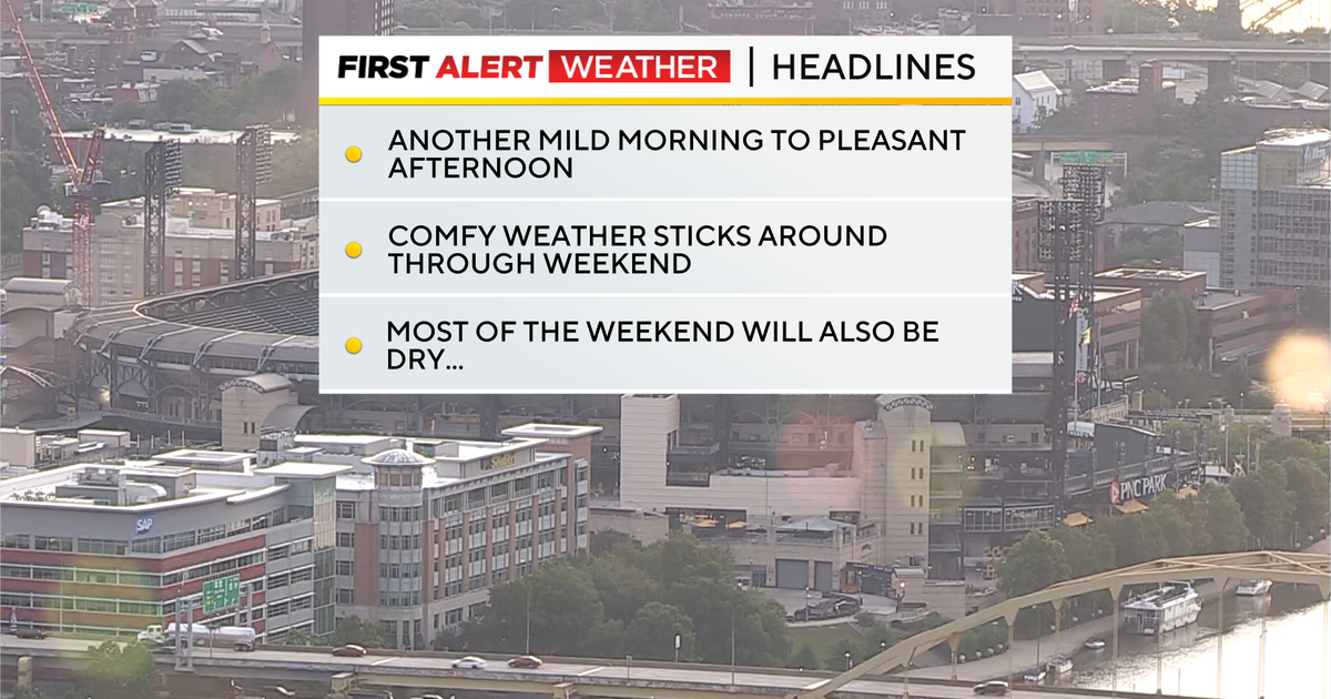
Pleasant weather sticks around for the weekend with humidity levels in the low to moderate range.

Conditions in the Pittsburgh area – July 24, 2026
KDKA Weather Center
Morning temperatures will remain in the mild to warm range after we saw an unseasonably cool morning yesterday. Part of the reason for the low morning lows on Thursday was the dry air in place behind a cool front. Dew points have ticked back up into the low 50s today. That’s closer to the norm for this time of the year. Dew points will be up near 60 degrees both on Saturday and Sunday as return flow from the south begins to happen this afternoon.

Conditions for “Yinzerpalooza” weekend at PNC Park
KDKA Weather Center
“Return flow” is a term used when winds change from a direction that is pulling in drier air, to a direction where moist air will begin to flow in.
With humidity levels ticking, rain chances will go up on both Saturday and Sunday. The dynamics in the atmosphere make it look like our percentage of the area impacted by rain will be slightly higher on Saturday (40 percent) as compared to Sunday (30 percent).
Thunderstorm activity should remain isolated, with a few rumbles heard through the day. Our next potential severe weather will occur early next week. At least for now, the Storm Prediction Center is highlighting us for severe weather on Monday of next week.
I have our severe weather risk highest on Tuesday.
Another issue will be the return of wildfire smoke early next week. You’ll probably be able to see the haze by Sunday afternoon, sitting over Western Pennsylvania.

Chances for wildfire smoke in our region through early on Sunday morning
KDKA Weather Center
At this point, modeling keeps most of the plume well above ground level Sunday and Monday, but conditions look to be in place to push the plume to the surface on Sunday ahead of another cold front passing by.

7-day forecast: July 24, 2026
KDKA Weather Center