
This Sunday night, humidity will slowly increase but it will stay generally comfortable with lows in the middle and upper 60s under a clear sky.
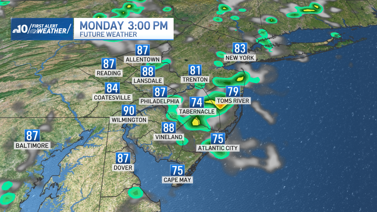
Monday will start of sunny but with an increase in humidity it’s possible that some storms will pop up in the middle of the afternoon.
These storms will not be widespread but localized flash flooding is a concern before the storms dissipate at sundown. Highs for Monday will be in the middle 80s.
Tuesday will bring the highest risk for flash flooding as well as some stronger thunderstorms.
There will be some early sunshine on Tuesday morning so these storms could end up being particularly strong south of Pennsylvania Turnpike and Interstate 95 in New Jersey.
Flash flooding is also a higher risk for Tuesday afternoon as the storms develop and move slowly. Highs on Tuesday will be in the lower 80s.
On Wednesday, a lingering storm is possible but otherwise skies will be partly cloudy and it’ll be cool for late July with highs around 80 degrees.
Then, Thursday is very nice with mostly sunny skies, low humidity and highs expected to be in the lower and middle 80s.
This is also expected for Friday as well.