
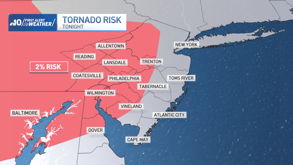
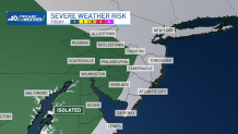
The Storm Prediction Center has expanded the low-level severe storm threat to most of our area, including the City of Philadelphia. This means one or two storms could turn severe this Sunday evening.
With any of these potential severe storms, gusty to damaging winds are possible and these limited severe storms could also rotate and bring a tornado risk. This low-level tornado risk was initially only for out in our western suburbs, but has since been expanded to Philadelphia and parts of New Jersey.
Storms are expected late afternoon, almost dinnertime, for Berks and Chester counties in Pennsylvania and New Castle, Delaware. Storms will likely be near the city around sunset and beyond.
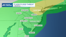
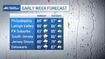
Our region remains under “Storm Alert” for Monday due to multiple rounds of rain and storms that can bring strong winds and flooding. Localized flash flooding is possible. Highs in the middle and upper 80’s.
Tuesday is pleasant, and dry, with a partly cloudy sky. Highs are in the middle and upper 80’s.
On Wednesday, expect partly cloudy skies, and highs in the middle and upper 80’s. A widely scattered storm is possible during the afternoon and early evening. This will be the same case for Thursday and Friday, as temperatures warm to the lower 90’s both days.
Still very warm for Saturday, with partly cloudy skies, and the chance of an isolated afternoon storm. Highs are still close to 90.