
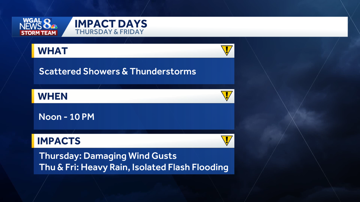
IMPACT THURSDAY, FRIDAY: Thunderstorms to bring heavy rain to south-central Pennsylvania


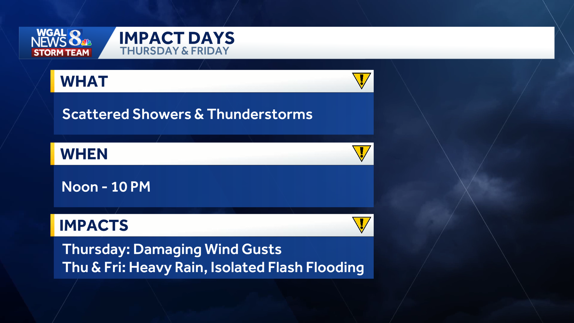
Multiple rounds of showers and thunderstorms are expected across south-central Pennsylvania on Thursday and Friday, bringing the potential for heavy downpours and damaging wind gusts.
The WGAL News 8 Storm Team has designated both days as Impact Days, meaning the weather will likely disrupt your normal daily schedule or routine.
Both Thursday and Friday will be partly sunny, hot, and humid, with highs in the upper 80s. Dew points in the low 70s will make conditions feel especially uncomfortable while fueling storms with enough moisture to potentially produce heavy downpours.
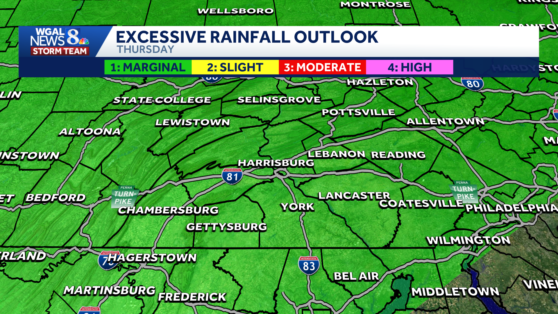
Thursday: Marginal Risk
The entire Susquehanna Valley is under a marginal risk (level 1/5) for severe weather on Thursday.
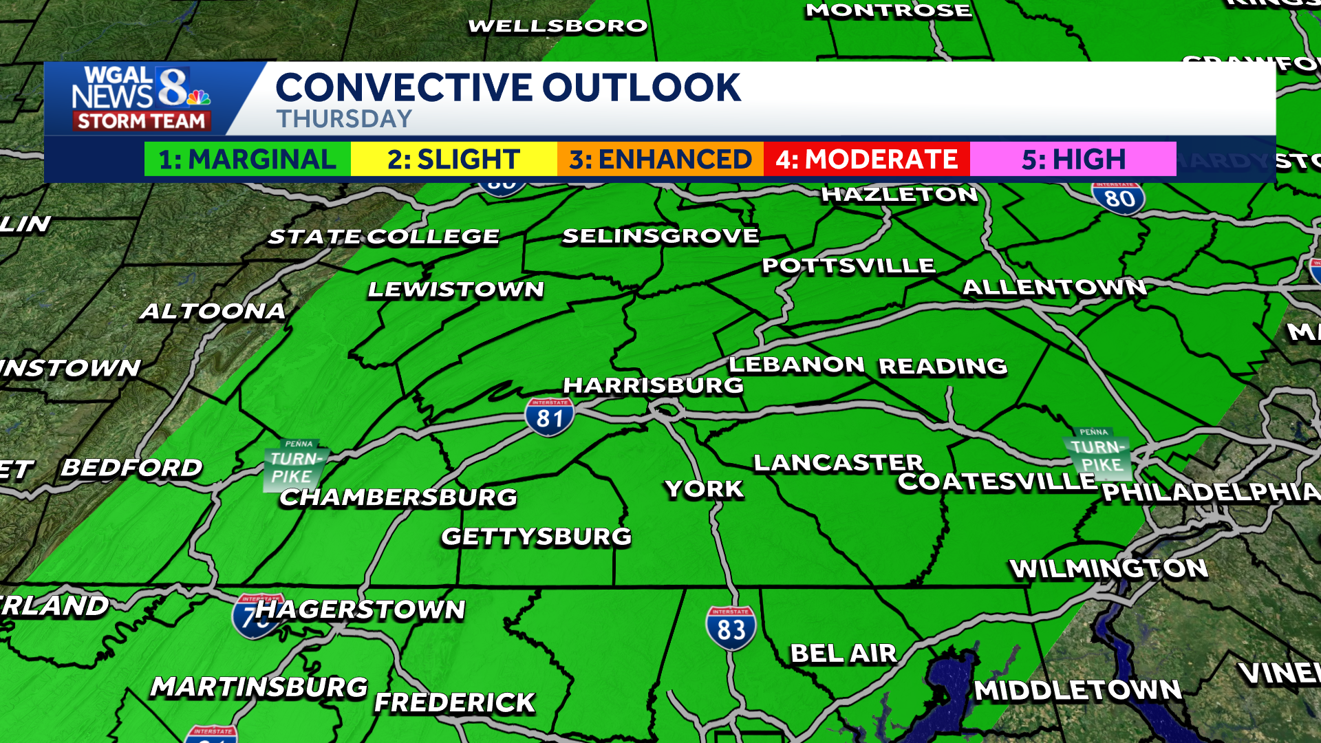
TIMING | Scattered thunderstorms are expected to develop mainly during the afternoon and evening.

THREATS | Although widespread severe weather is not anticipated, a few stronger storms could produce:
Heavy downpoursDamaging windsFlash flooding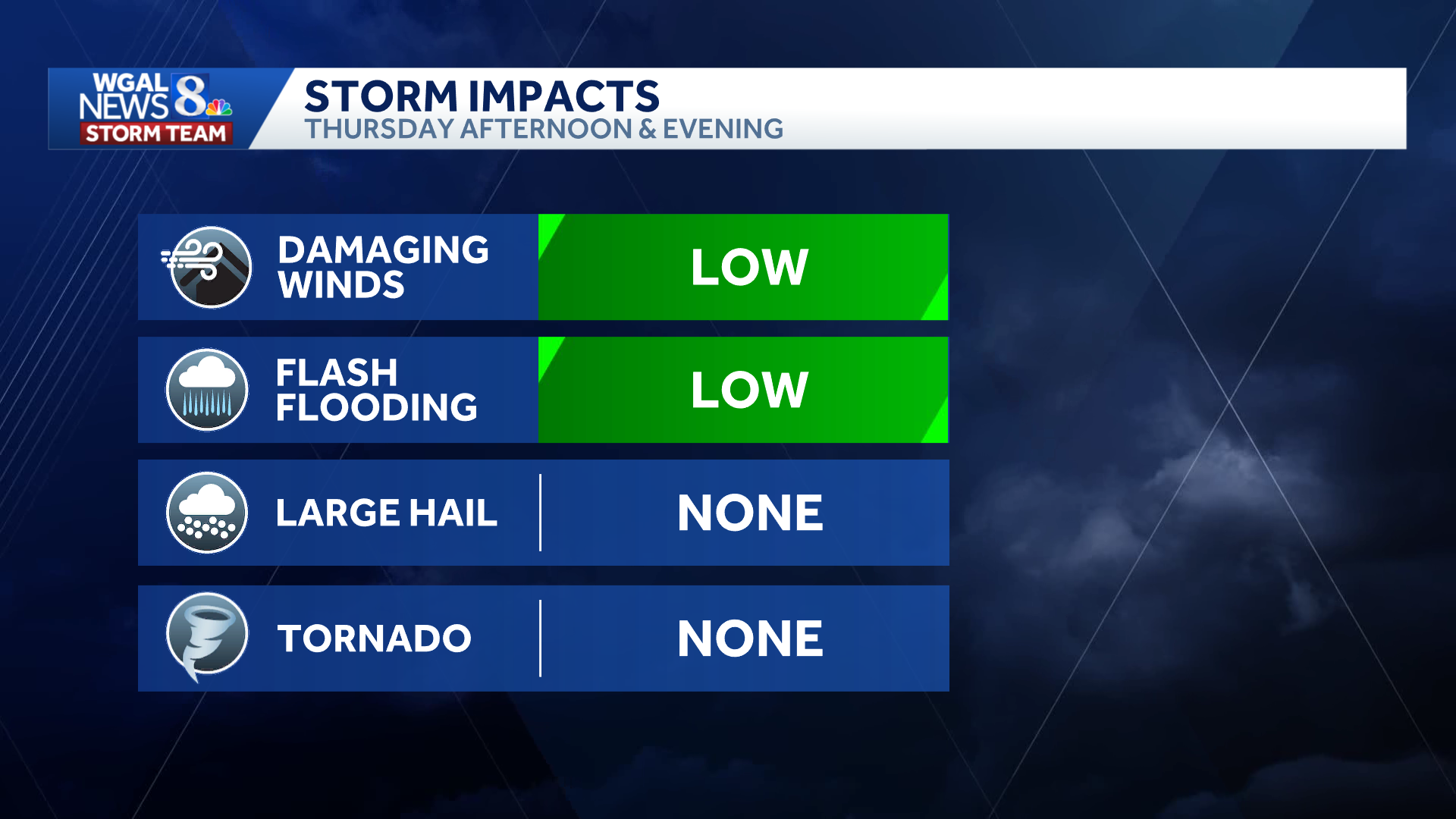
 Friday: Another round of rain
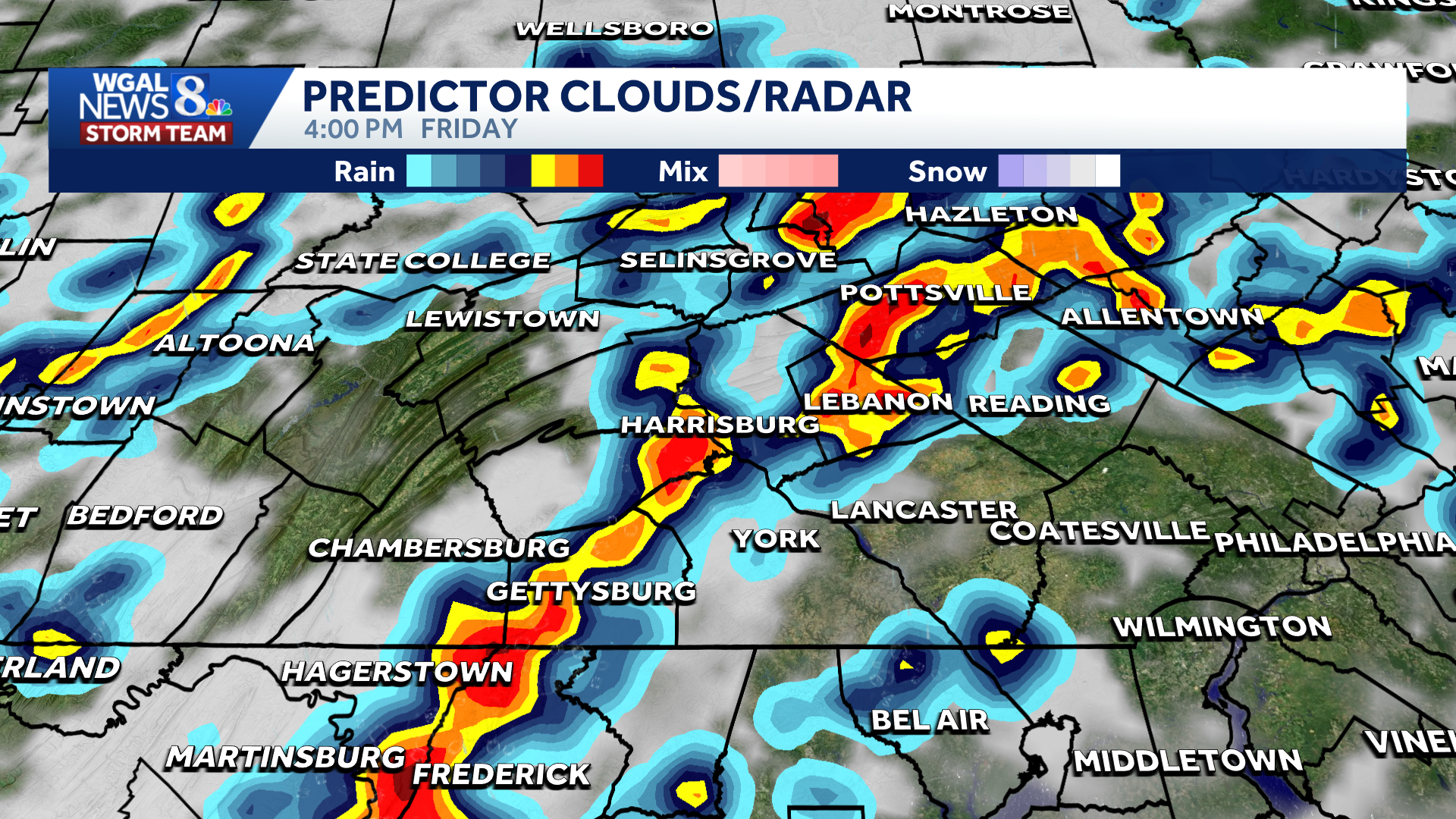
Friday will bring another round of high humidity and scattered thunderstorms.
TIMING | Storms are expected to develop in the afternoon and evening.
Although the region is not currently outlooked for severe weather on Friday, some storms could still produce locally heavy rainfall.

The WGAL News 8 Storm Team will continue to monitor the forecast and will provide updates as they become available.
Did you capture the weather and would like to share with News 8? Send us your photos or videos at https://www.wgal.com/upload.