
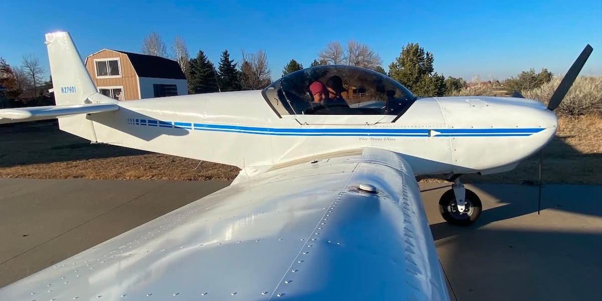
SIOUX CITY (KTIV) – Federal investigators have released new details in the death of a Colorado pilot whose small self built airplane went down in a body of water in rural Woodbury County, near Sioux City in July. The newly release report indicates that weather was the major factor which led to the crash.
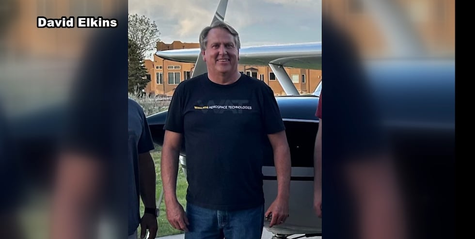 Dennis Elkins is described as an avid aviation enthusiast.(David Elkins)
The pilot killed has been identified as Dennis Elkins, 64, of Erie, Colorado.
Elkins was the sole occupant of the aircraft, a Zenith Zodiac 601HDS he built himself. The airplane was destroyed on impact. The crash occurred about 2:22 p.m. on Friday, July 24, though it was not located until 5:30 p.m. the next day.
Flight background
Elkins had departed Wittman Regional Airport in Oshkosh, Wisconsin, following the 2026 EAA AirVenture event and was believed to be en route to Erie Municipal Airport in Colorado. The flight was a multi-leg trip conducted under Title 14 Code of Federal Regulations Part 91 as a personal flight. No flight plan was filed.
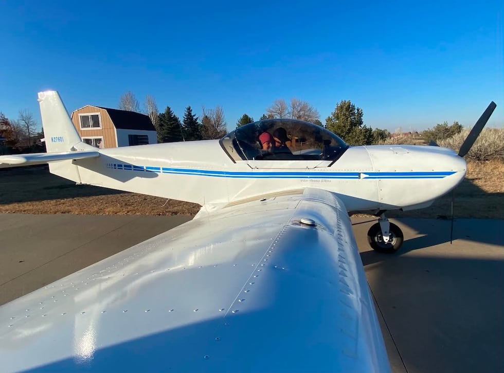 Elkins piloting a plane he built.(Greg Gottron)
Data showed the airplane departed Pocahontas Municipal Airport in Pocahontas, Iowa, at 12:36 p.m. on the day of the accident, flying southwest. The airplane tracked west along U.S. Highway 20 toward Sioux City before turning northwest, then north, and beginning to climb. The aircraft then entered a right turn and descended. The last recorded data point was located about a half mile southeast of the accident site.
Family reported him missing; multi-agency search followed
By Friday afternoon, Elkins’ family had not heard from him. By Saturday, July 25, they reported him missing. A friend of Elkins pinged the plane’s last known location and contacted the Humboldt County Sheriff’s Office.
“The Humboldt County Law Enforcement Center received a phone call from a friend of a pilot that had not been heard from for a while,” said Humboldt County Sheriff Dean Kruger. “This incident was reported to the Humboldt County Law Enforcement Center on Saturday, July 25th at 1443. A search of the area where the plane may have been turned up nothing. A civilian flew a drone in the area as well and came up with nothing.”
The Civil Air Patrol then used advanced tracking technology to ping the plane’s location near Lawton, Iowa. The Woodbury County Sheriff’s Office assumed control of the investigation from there.
Plane located in body of water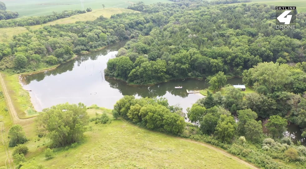 Elkins’ plane was located in this body water in rural Woodbury County.(KTIV)
At approximately 5 p.m. Saturday, the Woodbury County 911 Center received a report that a small, single-occupant aircraft was overdue and believed to be in rural Woodbury County near Lawton. The plane was located in a body of water along Buchanan Avenue by 5:30 p.m. The Iowa Task Force Dive Team was called in to assist. Elkins’ family was notified by 6:30 p.m.
Dark water conditions posed challenges for first responders and made the aircraft difficult to see. The plane remained in the water until Monday, July 27.
Wreckage examined
The airplane was found in 6 to 8 feet of water near the shoreline. Divers and a local towing company removed the aircraft from the water. The major components of the airplane were present.
Investigators established flight control cable continuity for the ailerons, rudder, and elevators. An inspection of the engine did not reveal signs of a catastrophic engine failure. The wreckage was moved to a secure location for further examination.
According to the report, the crash left the plane in multiple pieces. The wings were crushed backward and broke off from their main support, while the cabin twisted at a sharp, 90-degree angle. The engine and dashboard ripped away from the front of the aircraft, scattering pieces of the windshield and engine cover along the shoreline.
Weather conditions
The National Weather Service Area Forecast Discussion issued at 12:09 p.m. on the day of the accident reported instrument flight rules (IFR) to marginal instrument flight rules (MVFR) conditions in the area, with slow improvement expected through midafternoon.
Weather data recorded at Sioux Gateway Airport — about 8 miles from the crash site — showed cloud cover down to 700 feet and visibility of just 4 miles at 2:13 p.m. Those are conditions that require a pilot to fly by instruments alone, with little to no visual reference to the ground. Investigators reported the same type of conditions at the accident site at the time of the crash.
A separate pilot flying west about 75 miles south of the accident site around 3 p.m. said conditions were worse than forecasted and forced him to divert to an alternate airport to avoid instrument meteorological conditions.
Pilot information
FAA records showed Elkins held a private pilot certificate with a single engine land rating. He did not hold an instrument rating. Elkins was also the airplane’s owner and builder, and held a repairman experimental aircraft builder certificate for the aircraft.
According to Pocahontas Municipal Airport personnel, Elkins purchased 14.7 gallons of 100 low lead fuel before departing. Fuel sheen and oil were present in the water during recovery of the engine. So investigators do not believe a lack of fuel aided in the crash.
A lifelong dream fulfilled Greg Gottron (left) and Dennis Elkins (right).(Greg Gottron)
According to his family, flying his own plane to EAA AirVenture in Oshkosh — the world’s largest annual gathering of experimental and homebuilt airplanes — had been a longtime goal for Elkins. He had built the Zenith Zodiac 601 more than 20 years ago. This year, he finally fulfilled that dream and crossed it off of his bucket list. He crashed on his return flight home.
NTSB investigation ongoing
The National Transportation Safety Board has taken over the investigation. The investigation is being led by NTSB Investigator-in-Charge Bradley Miller. The FAA’s Brian Lundquist of Ankeny, Iowa, is also participating.
The NTSB noted its preliminary report is subject to change. A probable cause and any contributing factors will be detailed in a final report.
Want to get the latest news and weather from Siouxland’s News Source? Follow these links to download our KTIV News app and our First Alert Weather app.
Copyright 2026 KTIV. All rights reserved.