
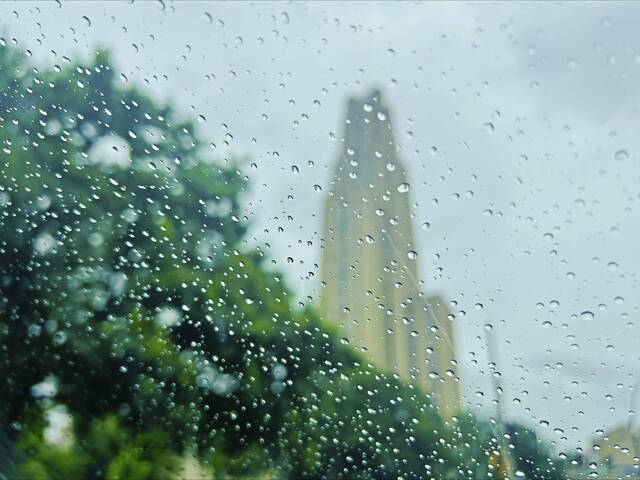
A fast-moving band of thunderstorms could drop a half-inch to 1 inch of rain across Southwestern Pennsylvania on Saturday afternoon amid what has become the region’s wettest August in 155 years.
Rain is expected to hit between 4 and 6 p.m. with the storm crossing the Laurel Mountain ridges around 7 p.m. But a meteorologist from the National Weather Service in Moon says sporadic wind gusts could be more problematic than local flooding.
“The main thing we’re concerned about is the chance of damage from wind gusts,” said meteorologist Chris Leonardi, who forecast that gusts could top 50 mph. “There could be some power outages but nothing widespread.”
Leonardi said the storm, which will pass through eastern Ohio around 2 p.m., is not expected to cause flooding in the Pittsburgh area.
No severe weather watches or warnings were in effect as of 9 a.m. in Allegheny and Westmoreland counties or the surrounding area.
Southwestern Pennsylvania is experiencing its rainiest August in modern history.
Nearly 7 inches of rain fell in the area from Aug. 1 through this morning, Leonardi said. That’s 4.5 inches above the norm — and the most the weather service has seen since it started keeping records in 1871.
“It’s notable,” Leonardi said, with a laugh.