
Pittsburgh: Isolated showers then dry for the weekend
Temperatures will return to 90 as we start September.
 PITTSBURGH —
Isolated showers and storms today as a cold front passes. We will be dry on Friday and through the weekend. We reach 90° next week.
Isolated rain and storm chances today. Most of the region will remain dry but if a storm does develop it could have stronger wind gusts and small hail.
The coverage is not that impressive and will be in the isolated to scattered range. A cold front will spark an isolated shower/storm in the afternoon. The afternoon activity does have the potential for a storm or two to have stronger wind gusts and small hail. Once the front moves through we are smooth sailing into the weekend.
A Nice Weekend, Warm Temps Next Week
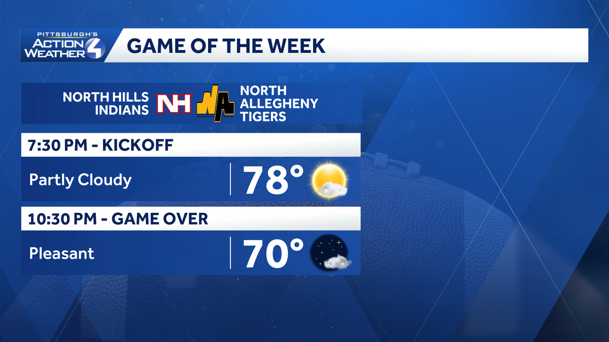
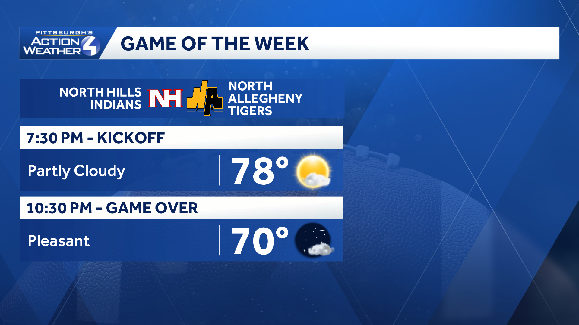
Friday looks great with seasonal temperatures with plenty of sunshine as high school football kicks off in Western PA.
The weekend looks fantastic, and finally, a completely dry weekend! Expect dry conditions with near normal temperatures to continue through Saturday. Temperatures begin to rise on Sunday and into next week. Highs will reach 90° to start September before rain chances returns for the middle of next week.
Tropical Storm Dolly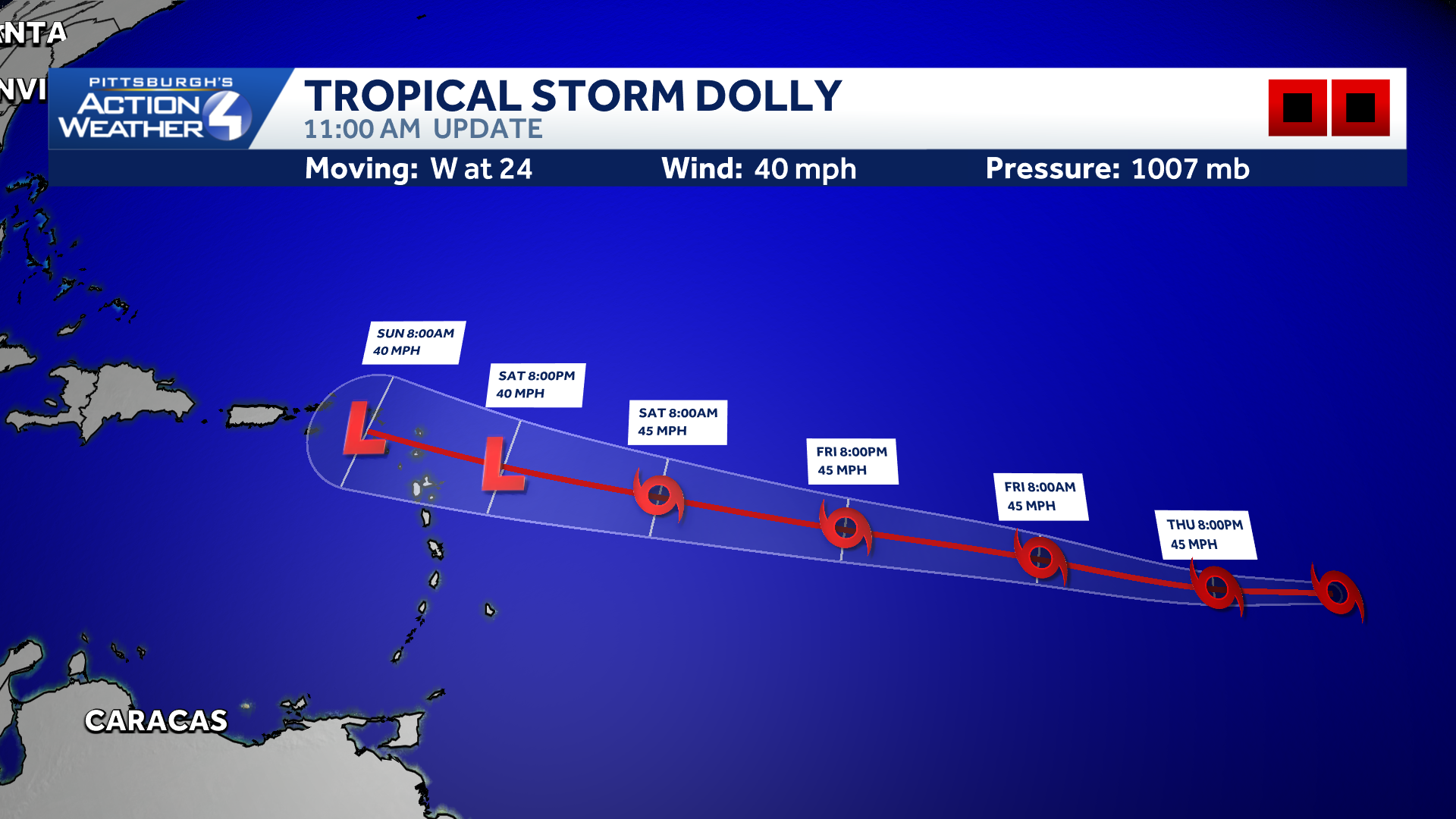
The fourth named storm of the Atlantic hurricane season has formed. It is forecast to struggle to intensify as it approaches the Lesser Antilles.
Tropical Storm Dolly has formed in the central Atlantic and is forecast to head towards the Lesser Antilles into the weaken. Dolly will struggle to strengthen through the week and is forecast to weaken to a tropical depression as it nears the islands.
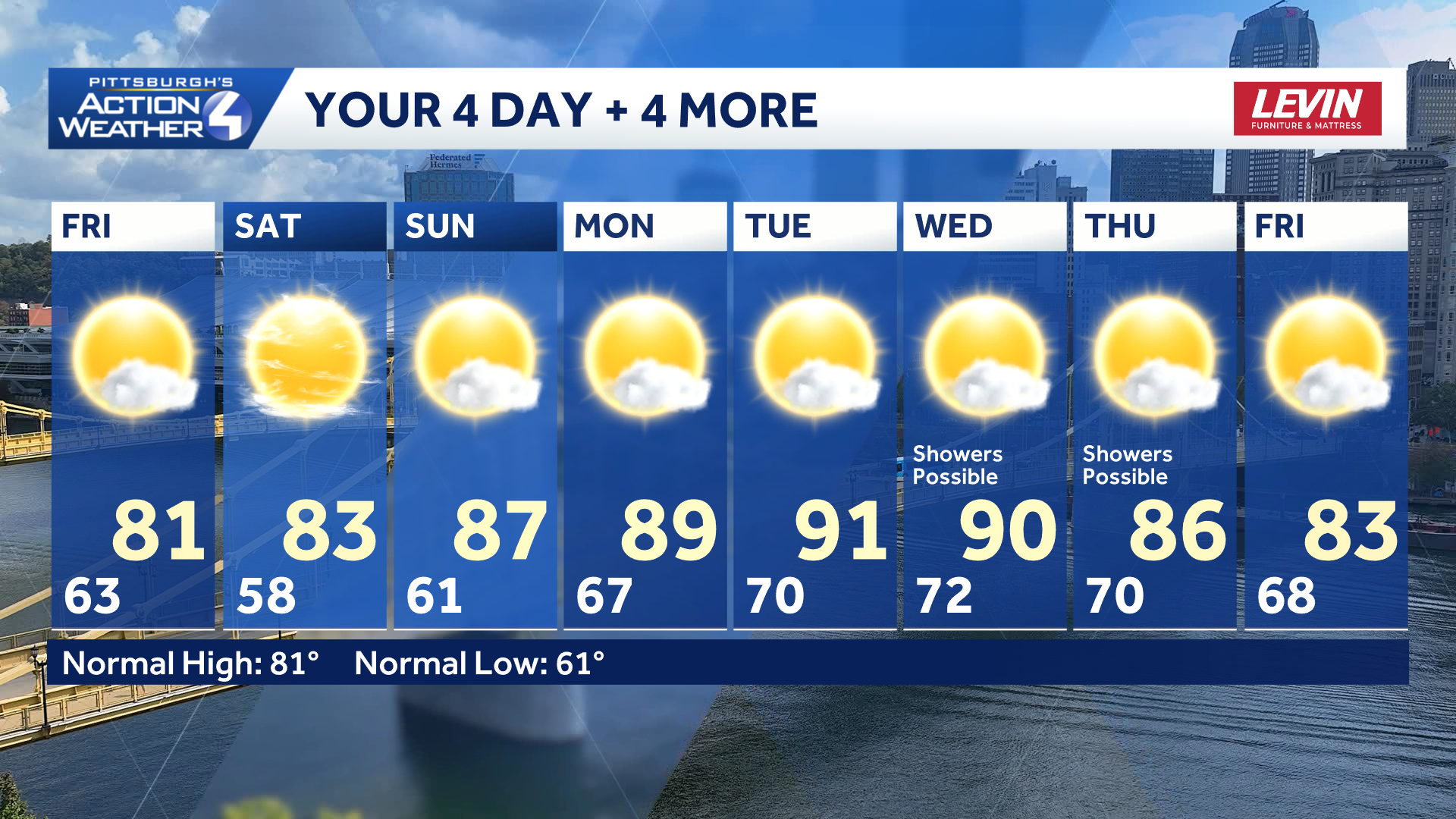
A dry weekend with a return to a more summer feel as we start September.
TONIGHT: Mostly clear with patchy fog late. Low: 63°
FRIDAY: Patchy morning fog then partly to mostly sunny. High: 81°, low: 58°.
SATURDAY: Mostly sunny. High: 83°, low: 61°.
SUNDAY: Partly cloudy. High: 87°, low: 67°.