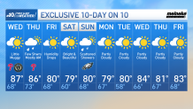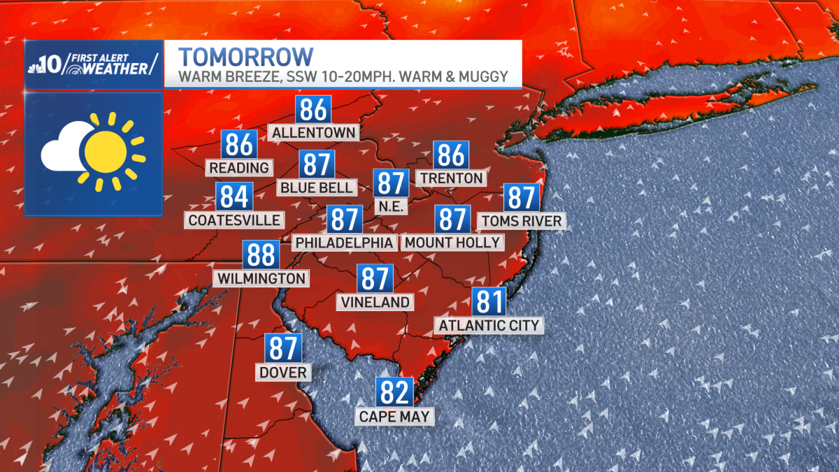
High pressure provided picture perfect conditions Tuesday, however, it’ll be a little easier to break a sweat Wednesday.
The same area of high pressure slides off-shore overnight and brings a breeze out of the southwest which will introduce higher temperatures and humidity.
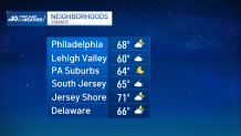
Tuesday night will be partly cloudy with temperatures in the upper 60s in the city but low to mid 60s in the suburbs.
Wednesday will be partly cloudy with a warm breeze and noticeably more humid.
A cold front approaches our region late Wednesday night and will bring scattered showers late Wednesday night into Thursday morning.
Only a lingering shower or isolated storm remains for Thursday afternoon and night.
Besides a stray shower Friday morning, it will be a bright and beautiful day with lower humidity.
Spectacular conditions persist into Saturday before another cold front brings rain for Sunday but most of the showers will be in the morning.
Expect a spotty shower for Sunday afternoon’s Eagles game.