
Turning more humid with a few showers Saturday in south central Pennsylvania
Turning more humid over the weekend.

Good evening!
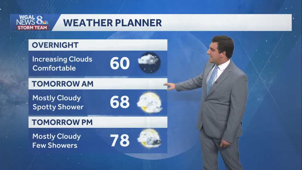
Tonight, clouds will increase and lows will fall to near 60 degrees. Humidity levels will remain comfortable.
Clouds will quickly return Saturday. We’ll see a few showers throughout the day, but it will be dry most of the time. Highs will reach the upper 70s, and it will turn more humid by afternoon. The highest chance of rain comes after sunset Saturday into Saturday night.
After morning showers end Sunday, look for partly sunny skies and highs around 84 degrees. High humidity will persist. A cold front will approach late Sunday, leading to a few showers and thunderstorms overnight.
Monday will feature partly sunny skies and lower humidity, as high pressure builds in from the Great Lakes. Highs will reach the upper 70s. Tuesday will be even more refreshing, as dew points drop to the low 50s. Expect sunshine and highs near 80.
Humidity will increase Wednesday, as high pressure moves east. Temperatures will reach the mid-80s.
Ahead of a cold front, scattered showers and thunderstorms will develop Thursday; then expect more comfortable conditions by the end of the week as the front passes. Highs will fall to the 70s next weekend.
Have a great night!