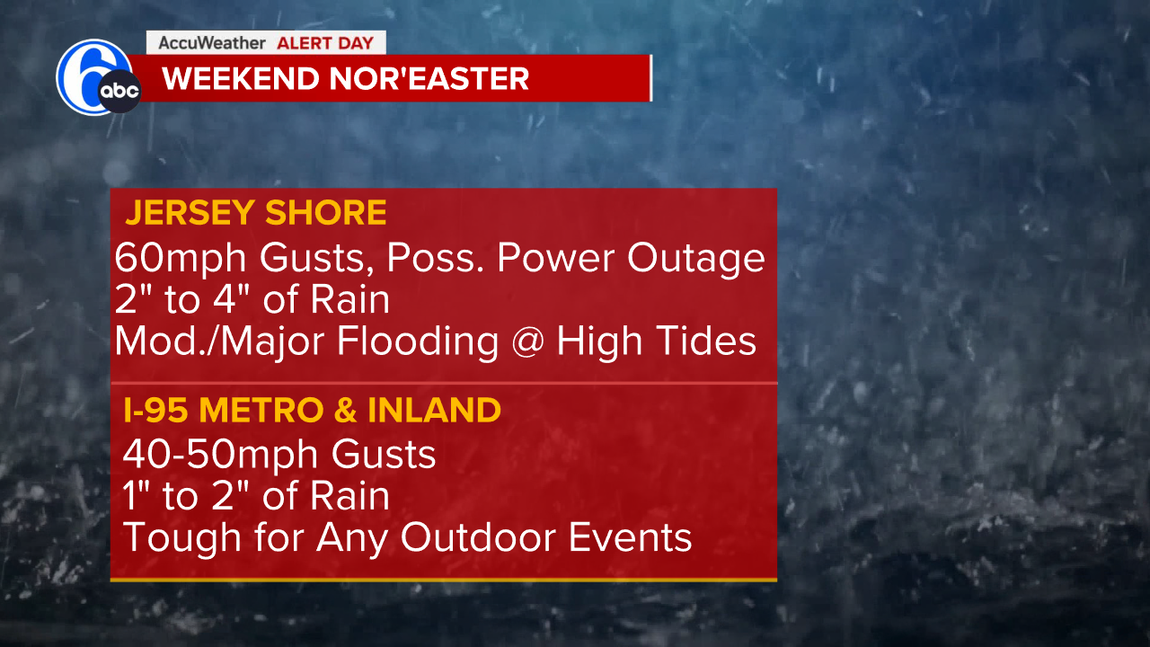
A High Wind Warning starts tonight along the coast as our nor’easter tracks into our coastline by the end of the weekend.
The storm is strengthening off the Mid-Atlantic coast and now appears headed straight for the Jersey Shore this weekend.
Rain and wind impacts will be felt across the area.
The next three high tide cycles will feature moderate, then major, then back to moderate flooding. With the dunes already weakened, we expect significant erosion and street flooding.The worst flooding looks to be Saturday morning at this point.
A high wind warning is now in effect for the Jersey Shore until 6 am Sunday, while a Wind Advisory covers most inland locations for that same time period. Gusts up to 60 mph are possible at the shore with 40-50 mph for most inland locations.
TIMING
Rainfall-wise, light and intermittent rain will begin at the coast Friday night and spread inland by dawn Saturday.
Much of Saturday features periods of light rain, which then ramps up to steadier, heavier rain for Saturday night into early Sunday morning as the nor’easter comes ashore. Then we go back to more intermittent rain come Sunday midday/afternoon.
Rainfall totals of 1-2″ for most locations inland with 2-4″ along the coast.
Waves up to 12 feet are also possible through Saturday.