

Clouds linger over western PA
The cloud deck breaks tomorrow with a warming trend to kick off October.
 PITTSBURGH —
Clouds hang tough today keeping temperatures in the 60s. Sunshine will return Tuesday and a warm up takes shape heading into October.
Cloudy and cool, again
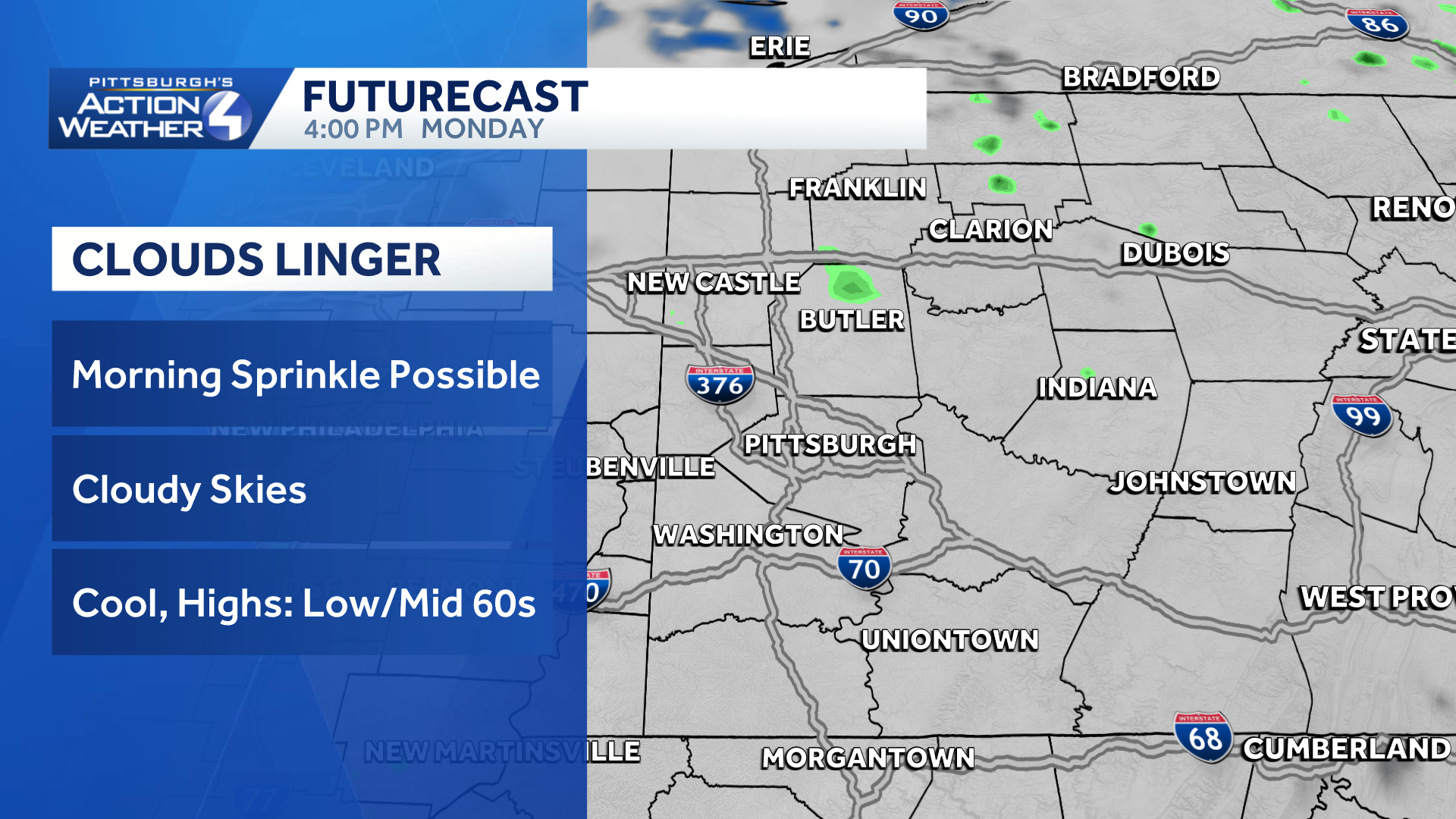
The nor’easter is centered over New Jersey. It won’t travel too far today. The coastal system funnels more clouds our way for another day. Temperatures will be parked in the 60s all day long.
Hearst OwnedHearst
Cloudy and cool again today. The clouds from the nor’easter move out tomorrow.
We will finally shake the stubborn clouds Tuesday. Clearing will start northwest of Pittsburgh. The Laurel Highlands will be the last to see the return of sunshine.
No rain until Friday
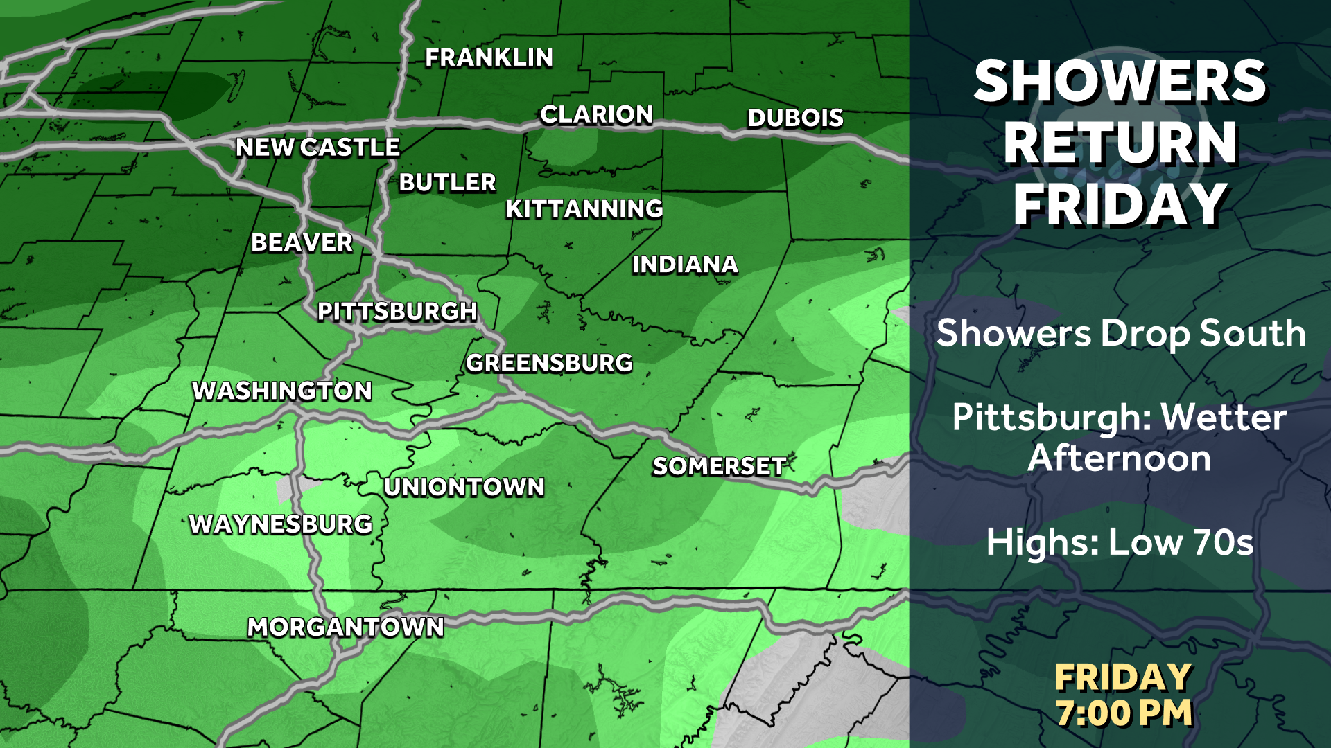
A cold front will send showers into the region on Friday. The afternoon looks wetter than the morning hours. The boundary looks to move a little faster through the Pittsburgh area. But, we still can’t rule out an isolated shower over the weekend.
Hearst OwnedHearst
Showers return Friday.
Warming up to end September
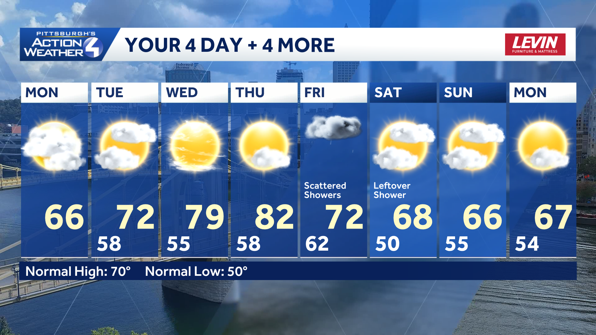
Temperatures warm up ahead of the late week rain. We have not seen the last of the 80s. This “heat” is toned down by the weekend with highs in the 60s.
Hearst OwnedHearst
Sunshine and warmer air return mid-week before showers show up on Friday.
TODAY: Cloudy and staying cool. High: 66°.
TONIGHT: Mostly cloudy and mild. Low: 58°.
TUESDAY: Gradual clearing. High: 72°, low: 55°.
WEDNESDAY: Warmer with sun and clouds. High: 79°, low: 58°.
THURSDAY: Warm with increasing clouds. High: 82°, low: 62°.