

Warming Up Through the Week; Impact Day Friday
 Gloomy Start to the Day
Areas of patchy fog & mist linger in some spots this morning but all of us are stuck with the clouds, at least through the morning. Breaks in the clouds with some sun peaking through the afternoon and early evening.
Impact Day Friday
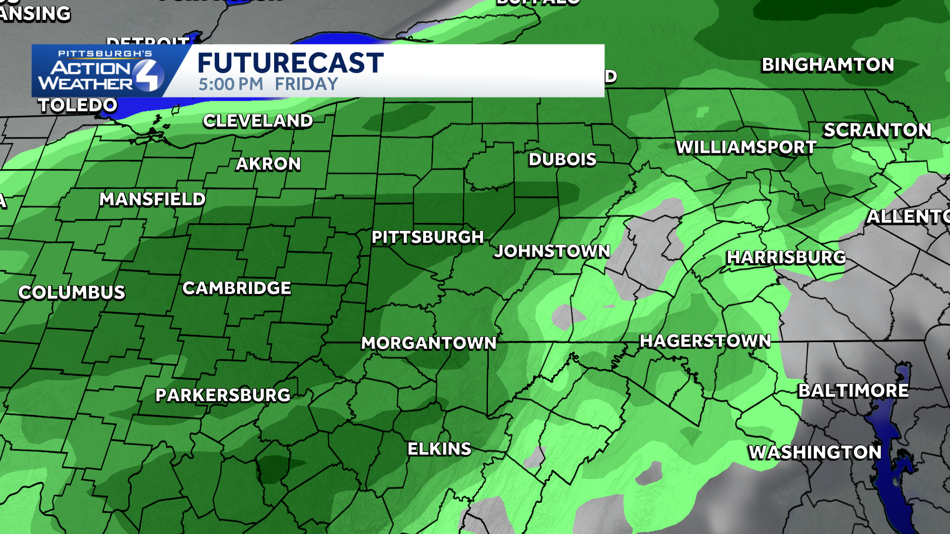
A cold front will move north to south across the region on Friday. Scattered showers through the day with the best chance of steadier rain in the PM hours. The cold front will still be near Morgantown on Saturday morning. The front looks to stay south of us on Saturday but has the potential to nudge a little further north on Sunday meaning areas south and east of Pittsburgh could get some showers Sunday morning. The weekend is still fluid and changes are still possible.
 Warming up to end September
Temperatures warm up ahead of the late week rain. We have not seen the last of the 80s. This “heat” is toned down by the weekend with highs in the 60s.
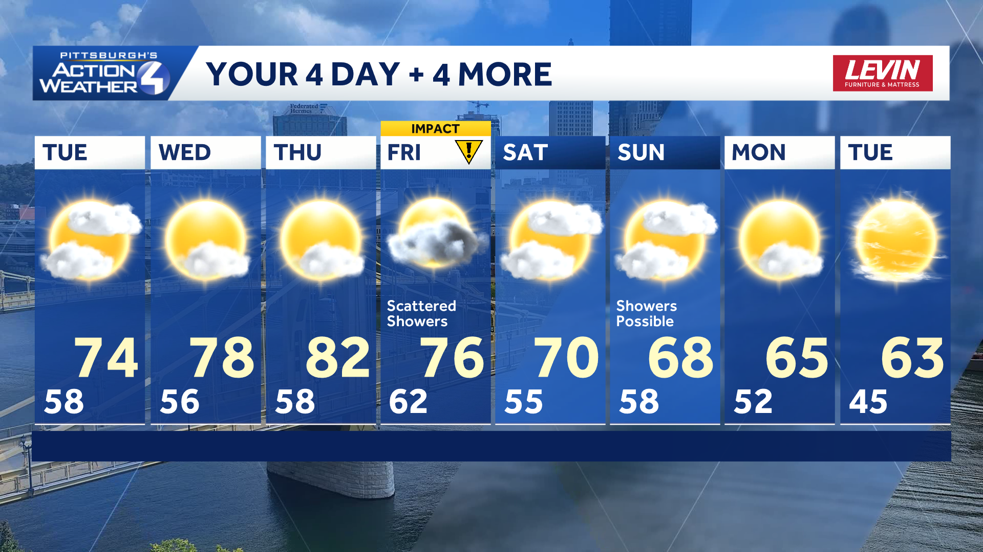
TODAY: Patchy AM fog/mist, mostly cloudy, some PM sun. High: 74°.
TONIGHT: Partly cloudy, patchy fog late. Low 56°.
WEDNESDAY: Warmer with sun & clouds. High 78°.
THURSDAY: Partly cloudy. High 82°.