
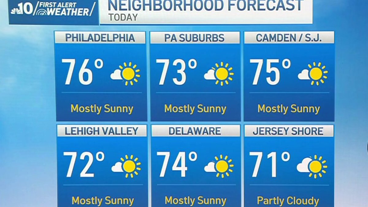
Our stretch of beautiful fall weather continues Friday with another day of sunshine and above-average temperatures.
A cooler start Friday morning with temps in the 40s and 50s, but quickly warming into the 70s in the afternoon under mostly sunny skies with very low humidity and a high of 76°.
Saturday also looks nice with partly sunny skies, a high of 73°, and humidity staying nice and low.
Late Saturday night though, clouds begin building ahead of a soaking rain on the way courtesy of the remnants of Hurricane Isaias.
Hurricane Isaias is currently in the Gulf as a Category 2 storm, expected to intensify to Category 3 later Friday before making landfall Friday night and quickly weakening as it moves inland. The wind won’t be our concern, but there’s a tremendous amount of moisture with this storm. After initially heading north it turns northeast, streaming that wet weather right into our area.
Rain arrives Sunday morning and continues through the afternoon and into the evening with periods of heavy rain and even a chance of some thunderstorms Sunday afternoon and Sunday night.
A few lingering showers Monday morning give way to afternoon sunshine for Columbus Day with a high of 70°.
Then another warm fall day Tuesday with a high of 80° under partly sunny skies.
A cold front brings showers Tuesday evening before clearing us out nicely for Wednesday and Thursday with highs in the 70s.