The rest of Thursday is mostly sunny, breezy and pleasant, with highs in the middle 60’s. Showers arrive overnight, with some thunderstorms to dodge for the morning commute Friday. Then, sunshine breaks out midday Friday.
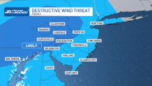
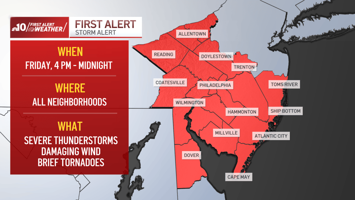
The sun will charge the atmosphere, for severe storms arriving around 6 to 7 pm on Friday evening. Storms are likely to produce wind damage, and an isolated tornado cannot be ruled out. The severe threat will end by late evening Friday. Highs Friday are very mild, in the upper 70’s.
An early morning shower is possible Saturday, then clearing skies, with a gusty breeze. Much cooler highs on Saturday, only in the middle 50’s. Widespread frost and freezes will be likely for Sunday morning. Then, mostly sunny skies for the afternoon, with highs near 60.
Another cool start Monday, but a mild finish with sunshine. Highs in the upper 60’s. 70’s return for Tuesday and Wednesday, with sunshine and dry conditions.
Get the latest weather updates by downloading the NBC10 app and following the NBC10 First Alert Weather team.