
Alert!: Severe thunderstorm watch until 8 pm Friday night
Alert!: Freeze watch late Saturday night through Sunday morning
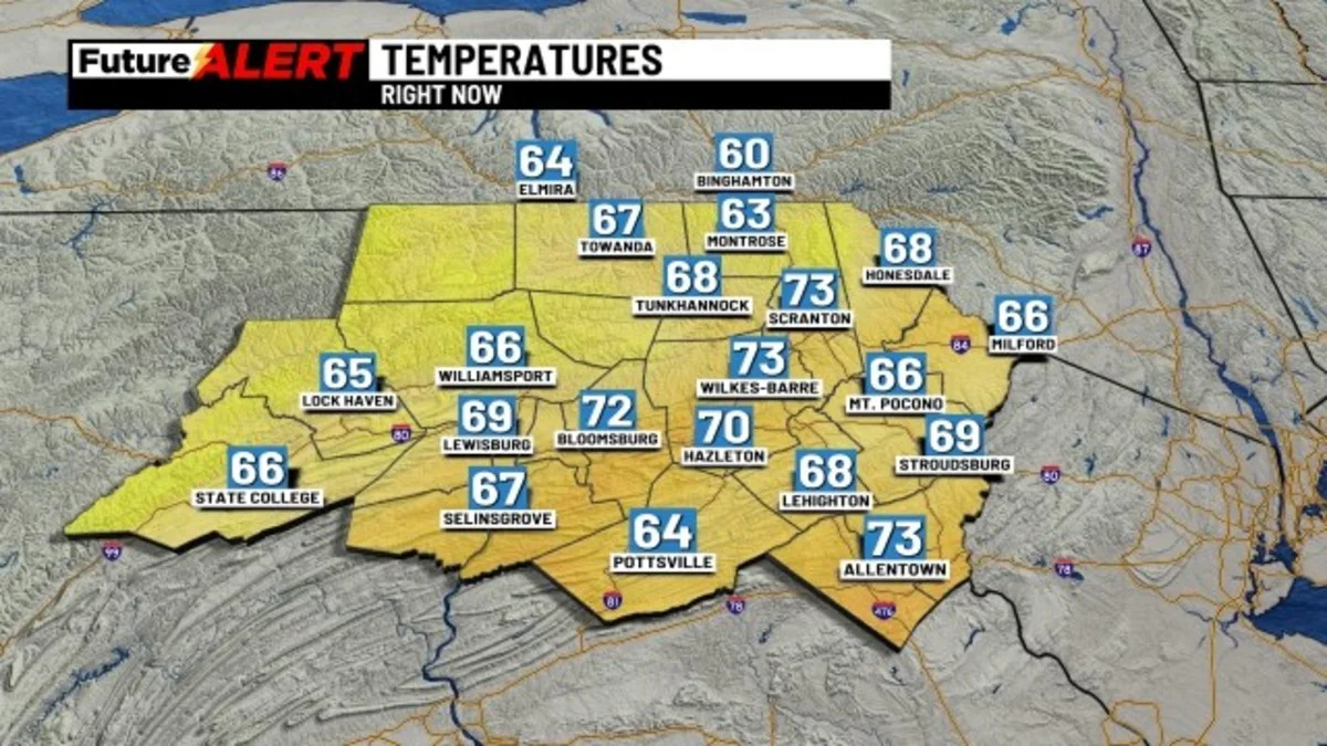
(WBRE/WYOU) — After a lull in the activity, we’ll see showers and storms firing up through the early part of the evening as a cold front moves through. Some of those storms have the potential to be strong, if not severe.
The primary impact is damaging winds, however, a weak tornado cannot be ruled out. Much of the night looks quiet with a mostly cloudy sky. It remains windy and it will become colder with lows in the upper 30s to low 40s.
A rain or even a snow shower is possible Saturday morning, otherwise clouds break for sunshine as the day progresses. It will be windy and chilly with highs in the upper 40s. Many areas will fall to the freezing mark (if not a bit colder) Saturday night and Sunday morning.
High pressure builds in on Sunday and Monday with a mostly sunny sky. Highs climb to the upper 50s Sunday, lower 60s Monday. We expect quiet and generally sunny weather to continue Tuesday through Friday next week. Highs in the 60s.
You can stay current on all the latest weather alerts and track the storm using the Future Alert Interactive Radar.
Copyright 2026 Nexstar Media, Inc. All rights reserved. This material may not be published, broadcast, rewritten, or redistributed.For the latest news, weather, sports, and streaming video, head to 28/22 News.