
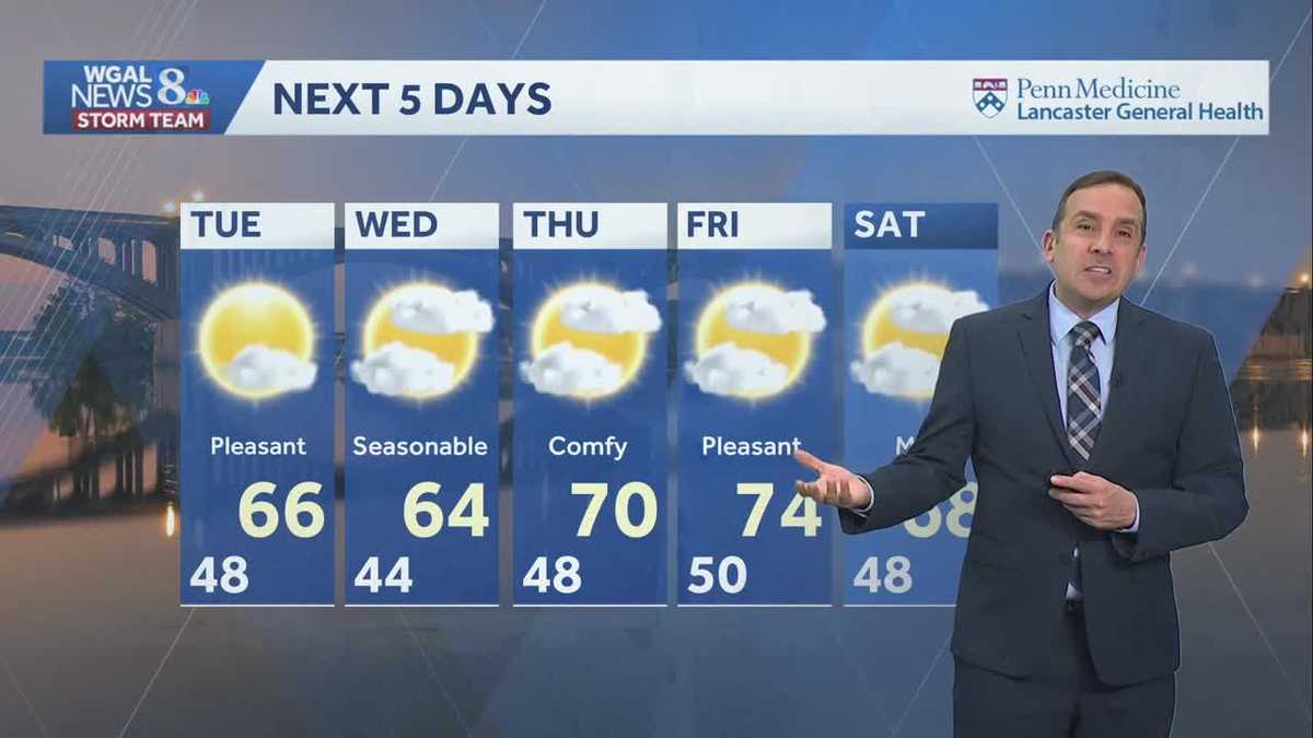
Temperatures will remain at or above average this week; dry weather will persist through the end of October.


Tonight, lows will be warmer than last night, in the upper 40s, compared with the 30s we’ve had the past few nights. The sky will be partly cloudy to mostly clear, as a dry cold front passes.
Tuesday will be mostly sunny, with slightly cooler highs in the mid-60s.
We’ll see partly sunny conditions Wednesday, with temperatures holding in the mid-60s; then we’re in for a warming trend at the end of the week, as a warm front moves north late Wednesday.
Expect a partly sunny sky Thursday and Friday. Highs will reach the low-to-mid 70s at the end of the week.
We’ll have a mild Saturday, with highs in the upper 60s, then trick-or-treaters are in for a treat Saturday night, as temperatures hover in the upper 50s between 6 to 8 p.m.
After a 2-week dry stretch, rain chances return with a cold front Sunday night into Monday.
The weather pattern becomes more unsettled for the first few days of November, with shower chances returning again on Wednesday and Thursday after Election Day.
Have a great night!