

November warmth sticks around through the end of the week with cool temps for the weekend.
Morning Rain Gives Way to Afternoon Sun
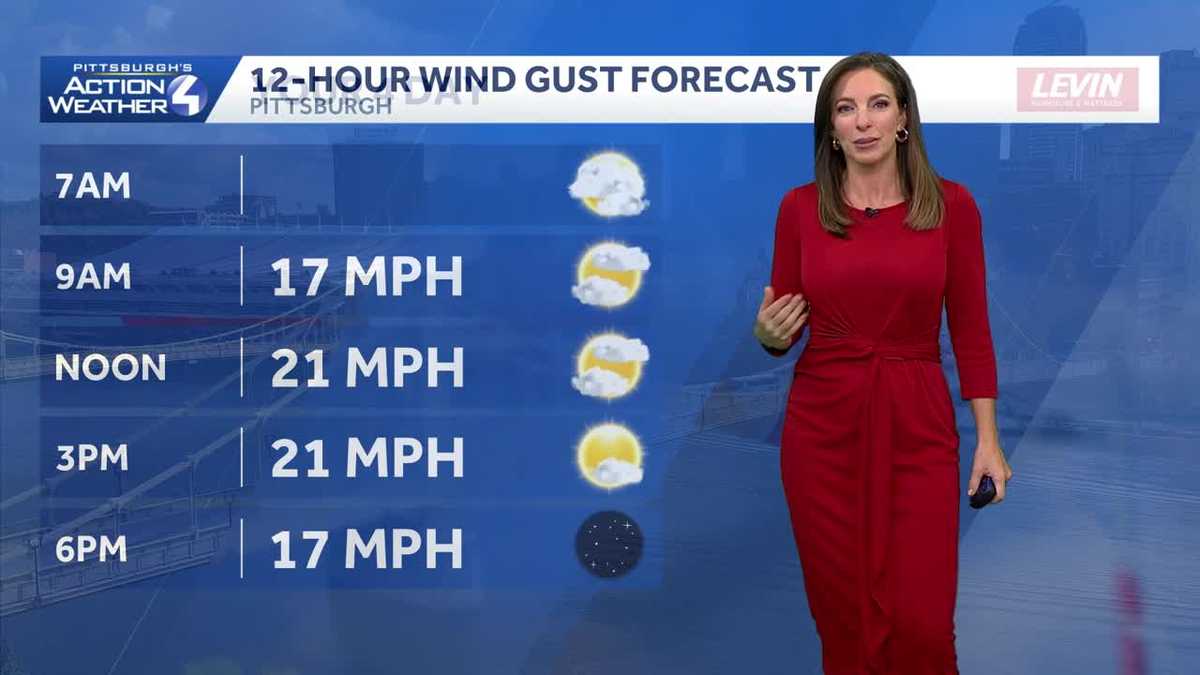
After a long stretch of dry weather, rain has finally returned to western PA. The rain showers east of Pittsburgh will gradually come to an end this morning, with clouds breaking for some sunshine during the afternoon. Despite the wet start, temperatures will remain well above average for early November, with highs climbing into the upper 60s. Expect a bit of a breeze throughout the day, with drier conditions continuing into Thursday evening.
Isolated Showers Friday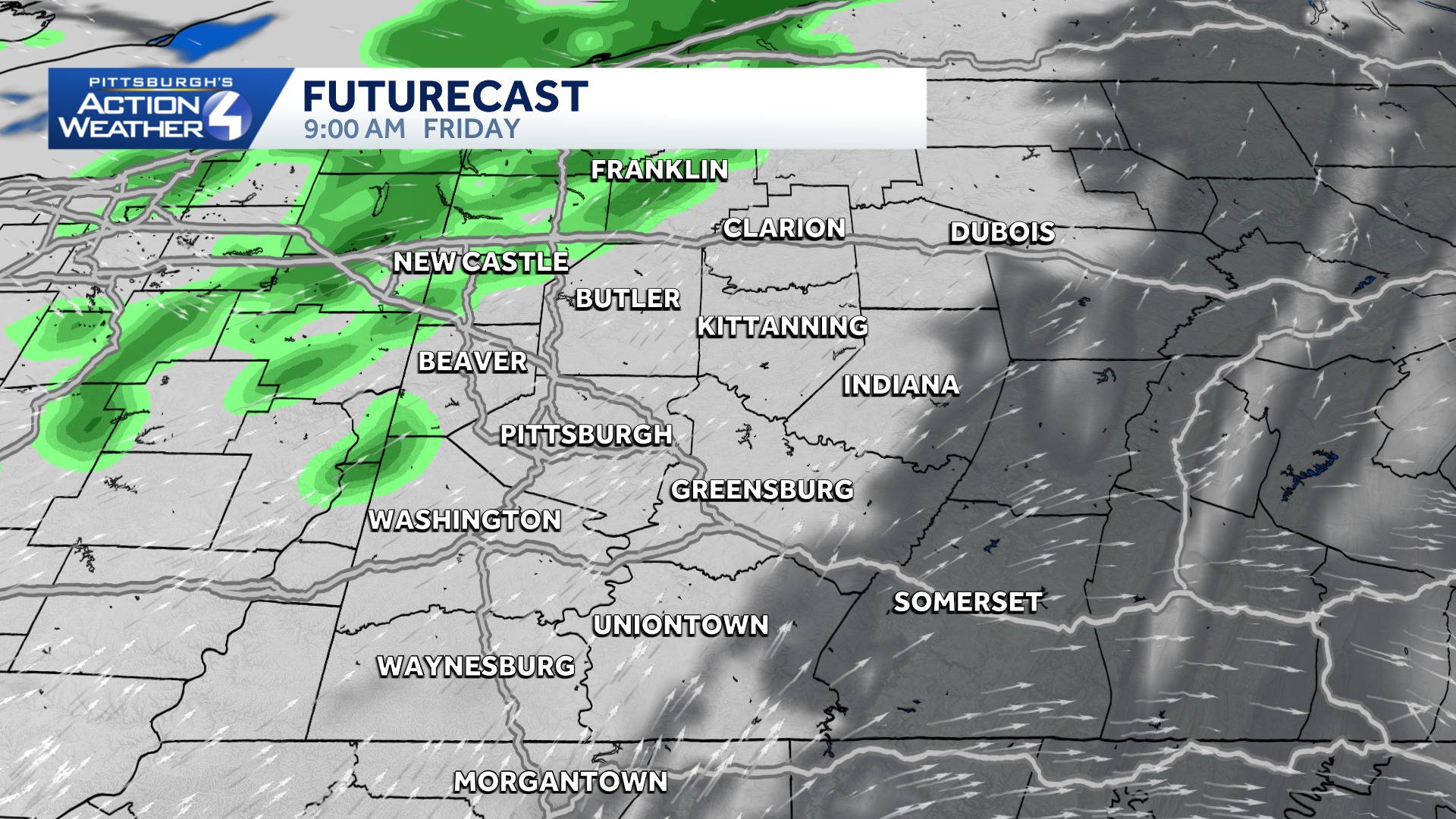
A few showers can’t be ruled out on Friday as a disturbance moves through the region. Much of the day will feature mostly cloudy skies, with a few showers by late morning/afternoon. Not everyone will see rain, it looks to impact mainly north of Pittsburgh and rain amounts remain light. Temperatures will begin trending cooler, with afternoon highs reaching the lower 60s before dropping into the lower 40s Friday night.
Cooler Saturday, Brighter Sunday
The weekend will bring a noticeable change in temperatures across the region. Saturday will be the cooler and cloudier of the two days, with highs struggling to reach 50 degrees. Plus, a few showers, mainly north of Pittsburgh can’t be ruled out. Sunday looks like the better day for outdoor plans, with more sunshine and dry conditions expected. Temperatures will rebound slightly into the middle to upper 50s. The quieter weather pattern should continue into the beginning of next week.

TODAY: Early morning rain, some afternoon clearing and breezy. High: 68°.
TONIGHT: Partly cloud. Low 48°.
FRIDAY: Cloudy with a few stray showers. High: 62°, low: 42°.
SATURDAY: Cloudy with isolated showers north. High: 50°, low: 38°