
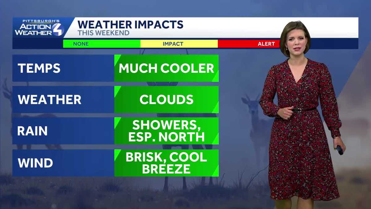
Plenty of clouds and isolated showers blow in over the next two days.
 PITTSBURGH —
Clouds and passing showers will spiral into western Pennsylvania. A November feeling is also getting established with highs in the 50s through the weekend.
A Few Showers Today
Isolated showers will linger through the early afternoon. The best chance for rain will be north of Pittsburgh. Not everyone will see rain, and temperatures will climb in the upper 50s by the early afternoon before cooler air begins moving in. Clouds will hang tough, even after the showers fizzle.
Cooler and Breezy Saturday
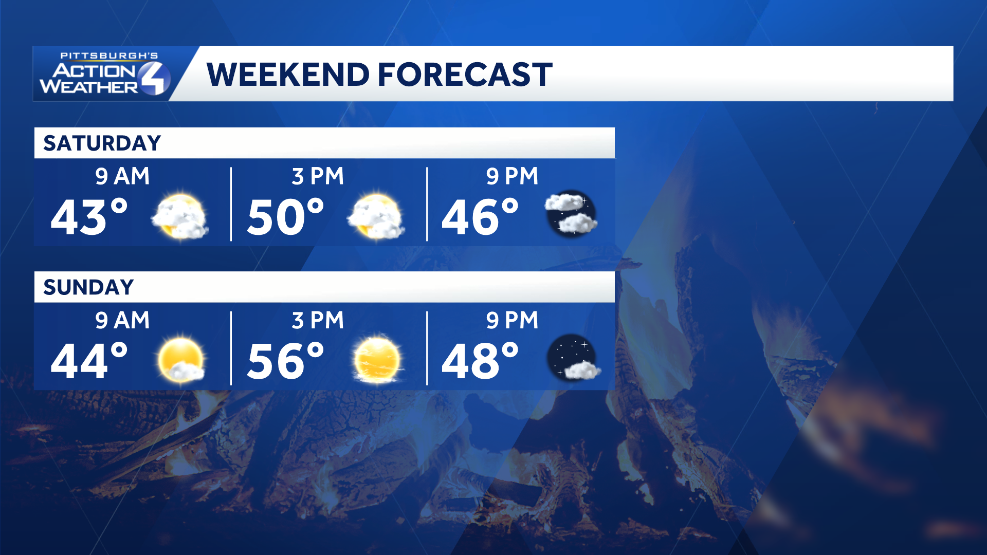
You’ll notice a big difference in temperatures as we head into the weekend. Highs on Saturday will struggle to reach 50 degrees. Winds will also pick up with gusts reaching 25 to 30 mph, making it feel even cooler. Clouds will remain pesky. Another system will work across the Great Lakes and could produce a few more showers around the area. The greatest chance for rain will be north of Pittsburgh in the afternoon.
 Sunshine Returns Sunday
Sunday will be the better day of the weekend. High pressure will bring back sunshine and dry conditions across most of western PA. Temperatures will rebound slightly, with afternoon highs reaching the mid to upper 50s. The pleasant, seasonable weather is expected to stick around into the beginning of next week, with more sunshine Monday and Tuesday.

Hearst OwnedHearst
Even cooler air arrives after next Thursday’s rain chance.
TODAY: Cloudy with isolated showers, & breezy afternoon. High: 55°.
TONIGHT: Mostly cloudy and chilly. Low 38°.
SATURDAY: Brisk breeze, cloudy with stray showers north. High: 49°, low: 39°.
SUNDAY: Mostly sunny and seasonal. High: 56°, low: 40°.
MONDAY: Sunny and a tad milder. High: 58°, low: 42°.