
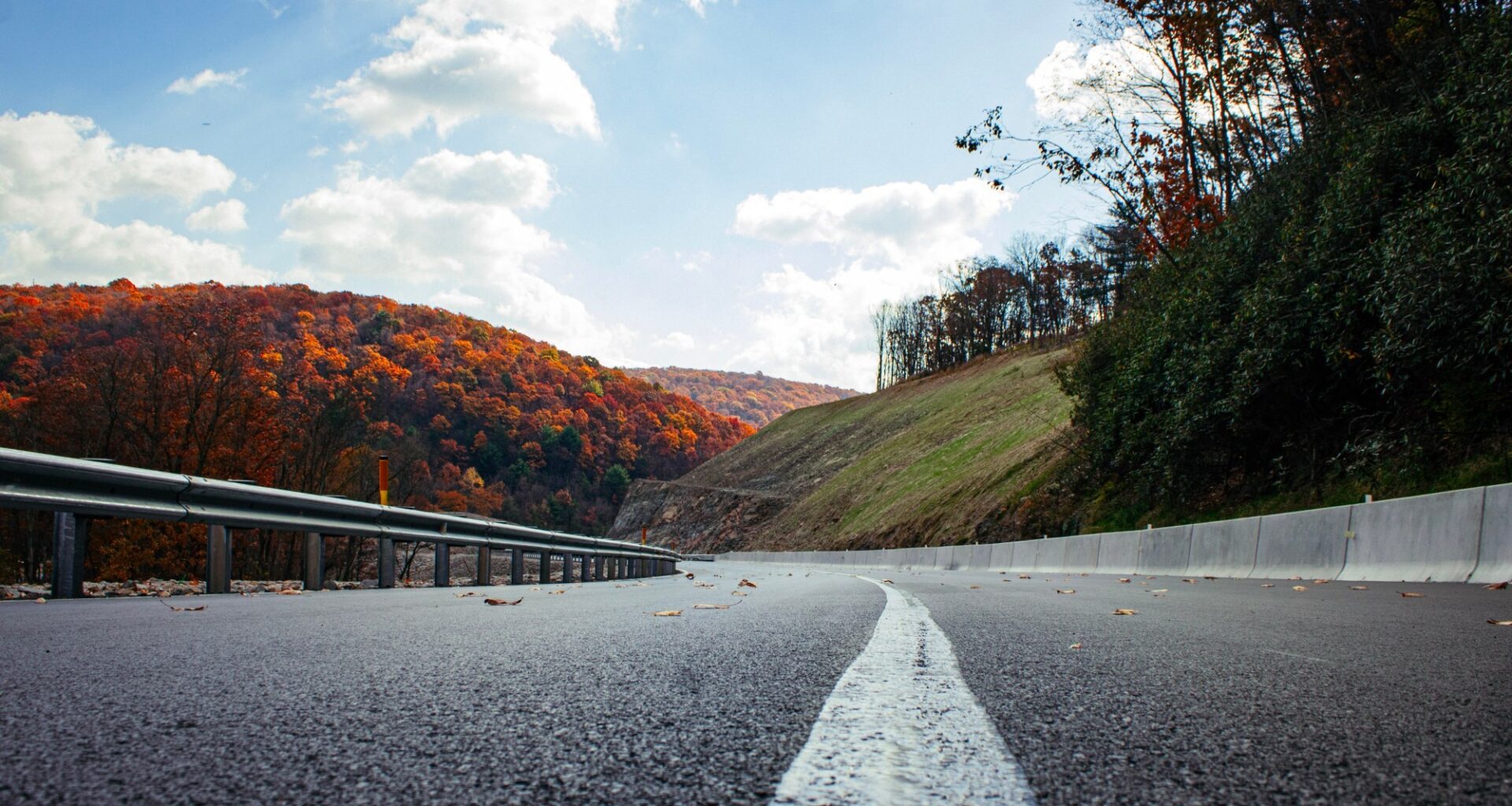
Driving through Schuylkill County, the signs are hard to ignore.
A dead raccoon along Route 61. A turtle crushed on a rural back road. Deer carcasses sprawled beside interstates, state highways and township roads.
For many drivers, roadkill is so common it barely warrants a second glance.
But wildlife experts say those collisions reveal a larger problem.
Across Pennsylvania, roads, highways and development continue to fragment habitat, forcing animals to navigate dangerous barriers in search of food, breeding grounds and migration routes. What drivers encounter every day is reflected in the numbers.
State Farm data estimates roughly 141,000 animal-collision insurance claims in Pennsylvania from July 1, 2025, through June 30, 2026, the highest total of any state.PennDOT statistics tell a similar story. In 2025, the agency recorded 6,309 deer-related crashes in Pennsylvania, resulting in 1,408 injuries and 11 fatalities.
Yet the state has never had a comprehensive statewide strategy to identify wildlife movement corridors or prioritize crossings.
State officials hope to change that.
Pennsylvania received an $840,000 federal Wildlife Crossings Pilot Program grant to develop its first statewide wildlife connectivity plan. Led by PennDOT and the Department of Conservation and Natural Resources, the effort brings together 11 state agencies to identify wildlife corridors, collision hotspots and opportunities to reconnect fragmented habitat.
Officials say it is too early to identify specific projects in Schuylkill County, but a draft plan is expected in 2027.
Close to home
“Every place has a spot,” said Stephanie Wein, clean water and conservation advocate for PennEnvironment. “Whenever I talk about wildlife crossings in Pennsylvania, somebody has a road they point to.”
In Schuylkill County, conservation educator Pat McKinney points to stretches of Interstate 81 and sections of Route 443 and Route 209 as places where collisions appear common. Whether those roads eventually emerge as statewide priorities remains unknown, but identifying locations like them could guide where investments are directed and crossings are built.
The cost of fragmentation
A concept called habitat fragmentation drives the initiative.
The term describes what happens when roads, pipelines, utility corridors or other infrastructure divide a once-continuous landscape into smaller, isolated pieces.
The consequences of fragmentation are often greater than they appear.
A highway cutting through a 10,000-acre forest may remove only a narrow strip of trees. Yet for wildlife, it can create a barrier that reshapes an entire ecosystem.
“What you’ve actually created for most species is functionally two much smaller forests that they can no longer move between,” Wein said.
Those barriers can limit access to food, water and breeding habitat. In some cases, they can isolate wildlife populations altogether.
Bobcats provide one example. Studies have shown major roads can separate populations, preventing animals from moving freely across the landscape. Over time, that isolation can reduce breeding opportunities and genetic diversity.
Even protected landscapes are not immune.
Wein highlighted Hawk Mountain, where staff have identified local roads that bisect those habitats and serve as mortality hotspots for amphibians and reptiles.
More than deer
For many Pennsylvanians, the phrase “wildlife crossing” immediately brings deer to mind.
“When we’re talking about wildlife connectivity, we’re talking about large animals, we’re talking about small animals, we’re talking about aquatic species, we’re talking about migratory species which includes birds, we’re talking about bats,” said Nicole Faraguna, director of policy and planning for the Pennsylvania Department of Conservation and Natural Resources.
The need for connected habitat doesn’t stop at Pennsylvania’s borders.
Pennsylvania sits along the Atlantic Flyway, one of North America’s major migration routes. Every year, billions of birds travel between Canada, New England, the American South and the Gulf Coast, relying on connected habitats to rest and refuel along the way.
Wein compared those habitat patches to highway rest stops.
“Just like you and me driving on the turnpike, we need rest stops, and they need rest stops,” she said.
When development and fragmentation leave too much distance between suitable habitats, it becomes harder for those species to complete their journeys.
Pennsylvania Game Commission wildlife management supervisor Kate Hasapes said the focus on deer can obscure the broader purpose of wildlife corridors.
Roadkill can also endanger other species. Hasapes noted that carcasses along roads often attract vultures, eagles and other scavengers, putting them at risk of vehicle strikes.
“Everything’s not just about the deer,” Hasapes emphasized.
Amphibians provide one of the clearest examples.
Wein said many amphibians spend much of the year on forest floors before migrating to breeding pools during the first warm nights of spring. Because they move slowly, even lightly traveled roads can become deadly barriers.
She noted that even a few vehicles per hour on a rural road can drive amphibian mortality rates as high as 80% during migration events. For species such as spotted salamanders, which can live for decades, those losses can have lasting consequences for local populations.
Connectivity projects can take many forms, Faraguna said.
“Sometimes it’s not a big giant crossing that’s needed. Maybe it’s just small underpasses that allow smaller species to get through.”
Properly designed culverts and tunnels can let amphibians and other wildlife move beneath roads rather than attempt dangerous crossings at the surface.
Corridors vs. crossings
The terms “wildlife corridor” and “wildlife crossing” are often used interchangeably, but officials say they refer to different pieces of the same framework.
Crossings are the structures that help wildlife move safely past barriers, including tunnels, underpasses, culverts and bridges.
Corridors are the connected habitats animals use to travel, feed, breed and migrate.
“When we talk about crossings, it’s really the infrastructure,” Faraguna said. “But the corridors are that conservation piece that allows the animals to exist.”
What’s already working
While Pennsylvania’s statewide wildlife connectivity plan is still taking shape, wildlife crossings already operate in parts of the commonwealth.
PennDOT’s wildlife crossing map identifies 33 existing crossings designed to help animals move safely through fragmented habitat.
One of the state’s most prominent examples is along Interstate 99 near State College, where five wildlife underpasses were incorporated into the highway’s construction. The crossings were designed with native vegetation and natural soil bottoms that let animals move beneath the roadway rather than crossing traffic.
According to PennEnvironment’s 2025 habitat connectivity report, wildlife mortality at the five crossing sites fell from an average of nine animal deaths per location in 2009 to roughly one after the underpasses were completed. Camera monitoring and track surveys later documented a variety of wildlife using the crossings, including bears, deer, raccoons, woodchucks, geese and great blue herons.
Other projects across Pennsylvania have been tailored to different species and landscapes. In Blair County, the Pinecroft Curves wildlife tunnel was designed to help amphibians and reptiles move between wetlands. In Luzerne County, a large-mammal underpass beneath State Route 3046 accommodates wildlife movement beneath the roadway, while Bucks County features multiple crossings along Route 202.
Why planning comes first
Some residents may wonder why the $840,000 federal grant is funding planning rather than construction.
The grant supports collecting and analyzing collision data, habitat information, land-use trends and other mapping layers to identify priority areas across Pennsylvania. While PennDOT currently evaluates wildlife crossing opportunities on a project-by-project basis, officials say the statewide plan will help identify priority corridors to incorporate into future transportation planning.
Faraguna noted that while $840,000 may sound substantial, planning efforts in other states have exceeded $1 million for what she described as a highly scientific, data-driven process.
“Without a good, solid plan based on science, good data and good mapping, we don’t know where to invest in that infrastructure,” Faraguna said.
Wein echoed the same sentiment.
“When the right hand knows what the left hand is doing, we can do things more efficiently, intentionally and effectively.”
“You don’t want to be pennywise and pound foolish,” she said.
How Pennsylvania got here
The initiative traces its roots to House Resolution 87, which the Pennsylvania House approved in 2023. A subsequent Legislative Budget and Finance Committee study recommended a statewide connectivity strategy and pursuing federal wildlife-crossing funding.
Wein said that groundwork helped position Pennsylvania as a strong candidate for federal Wildlife Crossings Pilot Program funding.
“Not all states that applied got funding,” she said. “House Resolution 87 passing made us a strong candidate.”
Bridging the gap
A road may look inconsequential on a map.
For wildlife, it can determine whether a journey ends on the other side or at the roadside.
Pennsylvania’s first connectivity plan aims to identify where those risks are greatest and where investments could make the biggest difference.