
Nov. 9, 2026, 3:33 p.m. ET
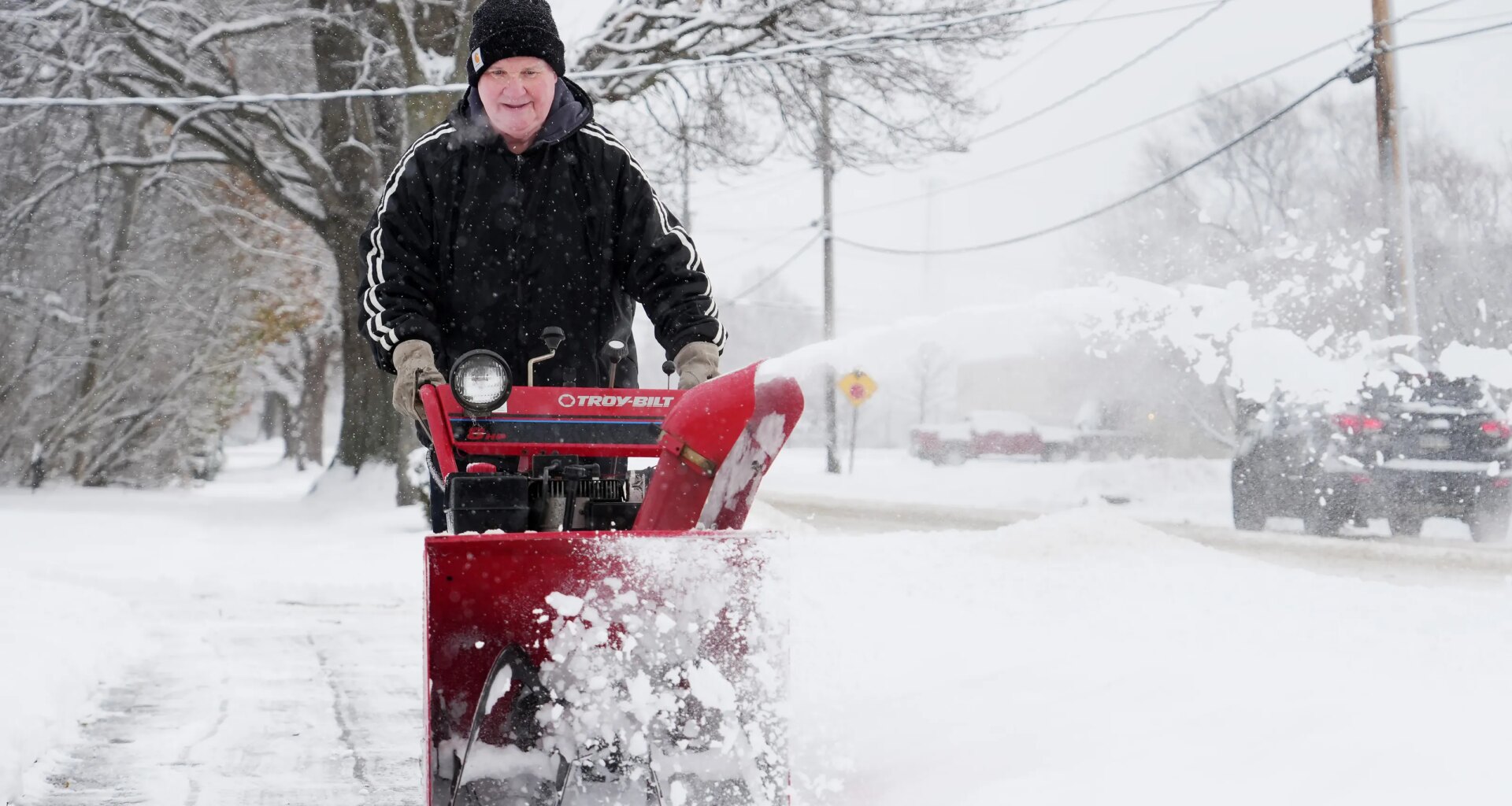
Ready or not, snow season may be about to begin in Erie.
The season’s first flakes could soon fall in Erie County, according to meteorologists at the National Weather Service office in Cleveland. But when the snow will arrive and how much could accumulate are two different questions.
Salix Iverson, a meteorologist with the National Weather Service, said there is potential for some snow in the higher elevations of Erie County the night of Nov. 12 into Nov. 13. The temperatures for that night are predicted to be in the lower 40s, with cooler temperatures — upper 30s — expected in the southern portion of the county.
Iverson said the snowfall will be light and mixed with rain, so odds are it won’t stick around.
Stay in the know: See the latest Erie County weather alerts with this interactive map
“You might see a couple of wet flakes, but in terms of accumulation, it will be very minimal,” Iverson said.
Meteorologists with AccuWeather reported the potential for wintry weather, saying: “Conditions across the Great Lakes and Northeast early this week (week of Nov. 9) will feature a few rounds of passing showers, but these quick bouts of wet weather will not have cold enough air in place for any widespread wintry precipitation.”
AccuWeather reports that as the pattern begins to shift mid- to late week, the cold air will lay the groundwork for wintry precipitation.
The National Weather Service is forecasting less than an inch of snow. Iverson said this accumulation is unlikely to significantly affect road conditions.
How Lake Erie affects the first snowfall
Lake temperatures can act as an engine for lake-effect snow, with the warmth and moisture helping destabilize the atmosphere. Iverson said Lake Erie temperatures were 57 degrees 10 meters below the surface on Nov. 9.
“We’re seeing some impacts of the waters with the lake-effect rain this weekend and late last week,” Iverson said. “In terms of this system, it’s more synoptic, so not our typical lake effect setup. We definitely have the warm lake effect temperatures.”

Iverson said the National Weather Service is tracking a low-pressure system moving from the central Plains into the lower Ohio Valley area.
“It’s not our main lake effect setup; it’s more of a strong low-pressure system that will bring plenty of rain to the area and then it’s the time of year where it’s cold enough, especially in the evening and overnight where you could get the rain and snow mix come into play,” Iverson said.
Is early November a normal time for the first snowfall in Erie?
The National Weather Service reports that the average first measurable snowfall occurs around Nov. 8, with measurable meaning at least a tenth of an inch.
The earliest snowfall measured in Erie was Oct. 1, 2003, when Erie International Airport recorded 0.2 inches of snow.
The latest first snowfall in Erie history was Dec. 5, 2009, when 1 inch of snow was recorded.
Is it normal for temperatures to drop quickly?
Temperatures were in the 70s during the first week of November, but by Nov. 9, highs were in the 50s.
Iverson said fall can be very temperamental.
“You’ll have areas of cold air moving down from Canada,” Iverson said. “That can supply a lot of the colder conditions that we experience with precipitation in the form of rain or snow. But then we have events where we have strong southern flow which can bring temps into the 60s and 70s.”
Cancelation calls: What determines a snow day for schools in Erie County?Stay up to date on Erie-area weather
Return to GoErie.com for updates. Get the latest AccuWeather forecast details and radar images for your ZIP code at goerie.com/weather. Download the GoErie app for iOS or Android for mobile-friendly forecasts.
Nicholas Sorensen can be contacted at Nsorensen@usatodayco.com.