
I’m sure by now your feed has filled up with gorgeous shots of the Northern Lights being seen from all over the United States. One of the questions I have been asked is, “Are the Northern Lights happening more often now than they were, say 10, 20, and even 50years ago?” In short, yes, we are seeing a period of heightened solar activity as this year marks the peak of the sun’s 12-year activity cycle.
WEATHER LINKS:
Current Conditions | School Closings & Delays | Submit Your Weather Photos
That’s not the only thing at play here, though. My long answer is that we are now able to track the chance for northern lights in ways we simply were not able to twenty years ago. The internet has also helped to loud speaker this info to the masses in short amounts of time.
The most important change, though, has been with the powerful supercomputers that we carry around with us each day. Your cell phone has the means to not only capture gorgeous shots but also has built-in software that can enhance shots to really make your images pop and stand out. We truly live in amazing times.
If you were hoping to have another chance to see the Northern Lights, you are probably out of luck with this current stretch. Geomagnetic Storm scale is expected to dip from a G4, with G5 being the strongest, to the G1 level tonight. The storm intensification is expected to dip back to G0 on Friday. According to the Space Prediction Center, a G4 storm can cause issues with our power grid, and the Northern Lights can be seen as far south as Alabama. On the flip side, tonight’s energy may be powerful enough for people in Northern Michigan still able to still see the Northern Lights. Even with minimal energy, migratory birds’ behavior can change due to a weak geomagnetic storm.
Getting back to our forecast.
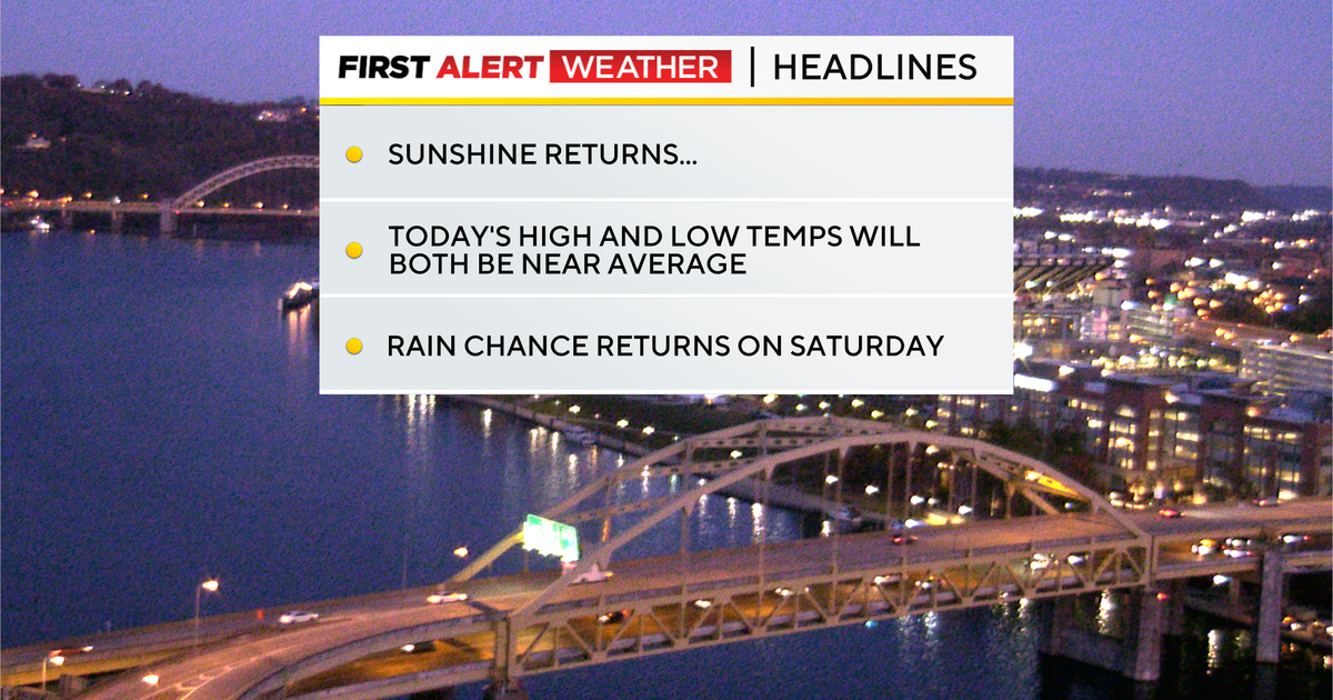
Today will be dry with sunny skies and highs hitting the low 50s. Morning lows dipped to the mid-30s.
Winds today will be lighter than yesterday, and that should make it feel more pleasant today as compared to yesterday. I have winds coming in from the west at around 10-15mph this afternoon. I have Friday seeing a high temperature of 55°.

Conditions in the Pittsburgh area – November 13, 2025
KDKA Weather Center
Looking ahead, our next rain chance comes on Saturday. Model data has really struggled over the timing of this weekend’s rain, pushing up the arrival of rain to now being on Saturday evening. Two days ago, the cold front wasn’t expected to arrive until Sunday morning around 6 in the morning. With the faster arrival, storm chances will tick up while the front moves by.

Cloud cover on Thursday, November 13, 2025
KDKA Weather Center
High temperatures will tick up for Saturday and will tick down on Sunday. I have Saturday now, seeing a high of around 63 degrees, with Sunday’s high temperature now in the upper 40s. Sunday’s temperature trend will also be ticking down through the day.
Looking at next week, temperatures will remain cooler than average on Monday and Tuesday before we start to warm back up with highs in the 50s on Wednesday through Thursday. If heading to Morgantown next Tuesday morning, you could potentially have to deal with some sleet.

7-day forecast: November 13, 2025
KDKA Weather Center
Stay up to date with the KDKA Mobile App – which you can download here!