
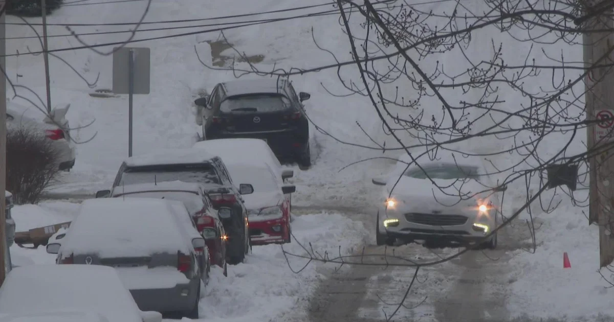
A winter storm making its way to western Pennsylvania is supposed to hit the region with the first significant snowfall of the season on Tuesday.
National Weather Service Pittsburgh says a winter weather advisory currently stretches from Arkansas to New York, including the office’s entire coverage area. While totals aren’t expected to be unusually high, the heaviest snow is expected during the morning commute, making the timing tricky.
How much snow will western Pennsylvania get?
Nearly everyone in the Pittsburgh area is expected to see at least 2 inches of snow. The current estimates are forecasting 2-4 inches for most, including Allegheny, Washington, Westmoreland, Beaver and Butler counties.
The highest totals are expected between I-70 and I-80, where some spots could even hit 5 inches. Northern counties as well as parts of Somerset and Cambria could get 3-5 inches.
Greene and Fayette counties, meanwhile, could see 2 inches or less.

Map shows snowfall totals for Dec. 2, 2025
(Photo: KDKA Weather Center)
When will it start snowing?
The timing raises the stakes because snow rates are expected to peak at around an inch an hour as the Tuesday morning commute gets underway.
NWS Pittsburgh says snow will arrive after midnight, and the heaviest snow is expected between 4-8 a.m.
Widespread snow will end in the morning, with showers tapering off through the afternoon.
Road crews said they’re getting ready for the snow. They’re asking drivers to leave themselves extra time for their morning commute, slow down and give plows and other cars space.

When will it snow in Pittsburgh?
(Photo: KDKA Weather Center)
More from CBS News