
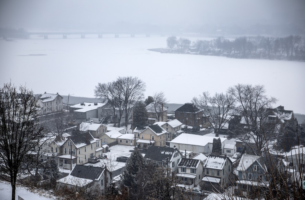
The Harrisburg region can expect snow in the next 24 hours.
The National Weather Service in State College has announced a Winter Weather Advisory and a Hazardous Weather Outlook for several counties in central Pennsylvania.
The affected regions include Adams, Blair, Cumberland, Dauphin, Franklin, Fulton, Huntingdon, Juniata, Lancaster, Lebanon, Mifflin, Montour, Northumberland Perry, Snyder and York counties, as well as portions of Centre, Clinton and Union counties.
Snow is expected to start overnight tonight and continue into the early afternoon on Tuesday.
“A quick-hitting system will bring accumulating snow to all of central Pa. late Monday night into early Tuesday afternoon,” the alerts warn. “Hazardous travel is expected for the morning commute on Tuesday, with a plowable snow expected areawide.”
Snow and a mix of sleet or freezing rain are expected near the Mason-Dixon line, which may result in “a glaze of ice,” according to the National Weather Service.
Over 6 inches of snow are possible at higher elevations, particularly east of US-15 and north of the I-81/I-78 corridor.
According to Weather.com, the forecast for Tuesday states that “snow will taper off and end during the morning but skies will remain cloudy during the afternoon.”
The Harrisburg region can expect between 3 to 5 inches of snow, Weather.com reports.
AccuWeather’s forecast calls for between 1 and 3 inches in the Harrisburg area as the most likely result of the storm, but closely followed by a chance for between 3 and 6 inches.
According to AccuWeather, the snowstorm is expected to last roughly 14 hours once it begins overnight tonight.