
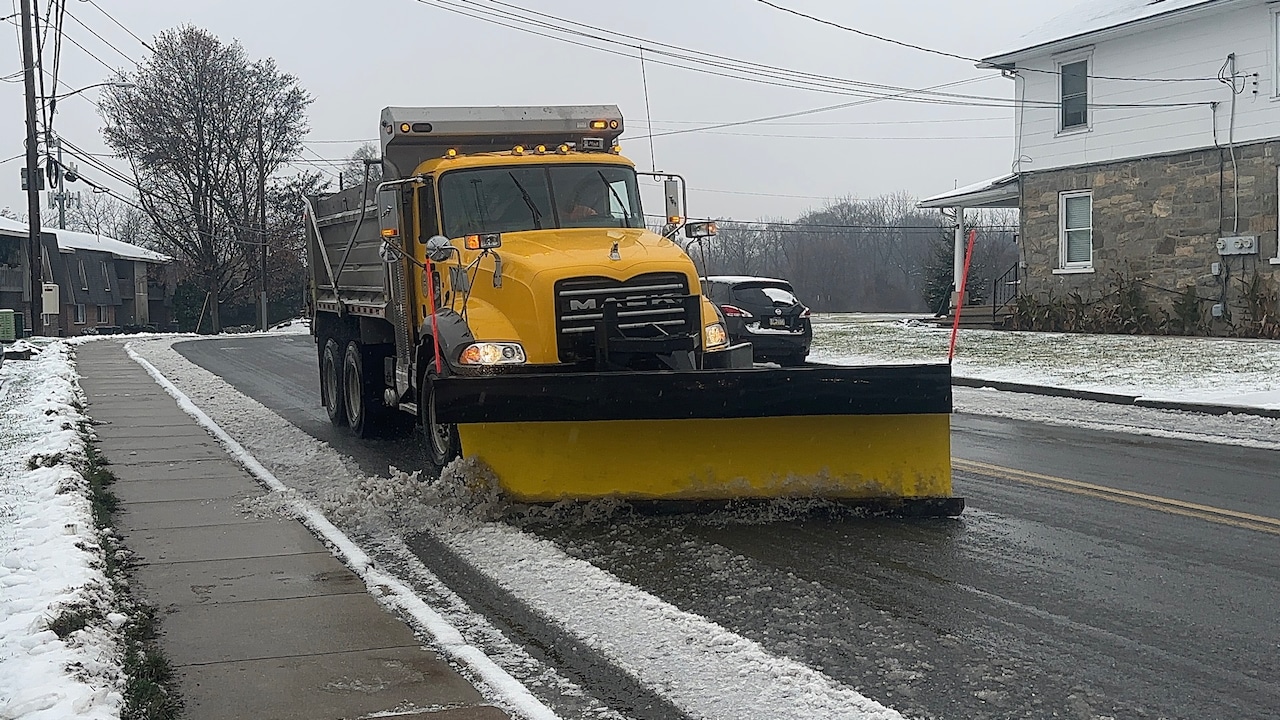
A winter weather system moving through the Lehigh Valley on Tuesday brought a mix of precipitation — snow, freezing rain and plain rain.
The National Weather Service Winter Weather Advisory for the Lehigh Valley expired early Tuesday afternoon. Another advisory expiring at 3 p.m. for the Pocono region warned of the potential for a light glazing of ice with the dwindling snowfall.
Reports to the weather service by 1 p.m. listed snowfall totals for the following vicinities:
Carbon CountyPalmerton, 3.7 inchesJim Thorpe, 3.4 inchesLehigh CountyWashington Township, 4 inchesNorth Whitehall Township, 2 inchesWescosville, 1.3 inchesLehigh Valley International Airport, 0.8 inchesSalisbury Township, 0.8 inchesMonroe CountySaylorsburg, 4.3 inchesPocono Summit, 3.5 inchesMount Pocono, 3.4 inchesScotrun, 3.2 inchesNorthampton CountyBangor, 3 inchesPen Argyl, 2.5 inchesMoore Township, 2.2 inchesNazareth, 2.2 inchesBushkill Township, 1.8 inchesMartins Creek, 1.6 inchesWarren CountyBlairstown Township, 2.2 inchesHackettstown, 0.5 inchesStewartsville, 0.5 inches
The forecast was serious enough for schools, colleges, universities and businesses across the area to close their doors Tuesday.
And the wintry precipitation did indeed wreak havoc on local roads.
Emergency radio broadcasts indicated accidents occurred on highways including Routes 22 and 33 and the Pennsylvania Turnpike (Interstate 476); crashes into homes about 9:50 a.m. in Stockertown and 1 p.m. in the Bangor area; a rollover crash about 9:20 a.m. on South Delaware Drive (Route 611) in Williams Township and numerous tractor-trailers stuck around noon on Route 309 in the New Tripoli area.
Also around 1 p.m. in Lehigh Township, firefighters reported pulling a man from a vehicle that had caught fire following a collision on Lehigh Drive (Route 248) near Locust Drive.
Details of the crashes were not immediately available.
Temperatures across the region ranged from near freezing in the Poconos to the low 40s along the I-95 corridor. As the low-pressure system departs late Tuesday evening, northwest winds will increase, creating breezy and cold conditions overnight.
Temperatures dropping below freezing overnight into Wednesday have the potential to freeze any standing water, making for continued treacherous conditions.
Wednesday will be significantly colder, with high temperatures in the mid-30s to mid-40s and continued northwest winds. Residents should be prepared for potential black ice conditions, especially north of I-78, where melting snow and slush may refreeze overnight. Skies will be clear, but the wind chill will make temperatures feel even colder.
Looking ahead, Thursday will bring partly cloudy skies and continued cold temperatures, with highs in the 30s and 40s. Thursday night is expected to be extremely cold, with potential single-digit temperatures in the Poconos and teens across eastern Pennsylvania.
The extended forecast suggests a pattern of below-average temperatures will persist through the weekend, with a potential for another weather system Friday night that could bring additional wintry precipitation.
Current weather radar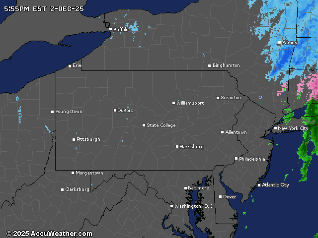
Generative AI was used to produce an initial draft of this story, which was reviewed and edited by lehighvalleylive.com staff.