A brutally cold morning across the Lehigh Valley will give way to light snow and potential freezing drizzle, with temperatures struggling to reach the upper 20s to mid-30s Friday.
As of 4:30 a.m. Friday, Mount Pocono has tied its record low with a low temperature of -2 degrees, meteorologists report. The last record for Dec. 5 at the Lehigh Valley International Airport, just outside Allentown, was 11 degrees in 1926, according to National Weather Service data.
AccuWeather is making similar predictions, reporting a high temperature of 17 degrees for Friday morning in the Bethlehem area. The high temperature for Friday isn’t expected to exceed 28 degrees, before dipping to a low of 26 degrees Friday evening, AccuWeather says.
Wind gusts of 5 mph also are predicted.
A possible cold front Sunday night is expected to bring another round of significantly colder temperatures early next week. The weather service is reporting single-digit temperatures in some areas, with a mix of teens and 20s where cloud cover exists.
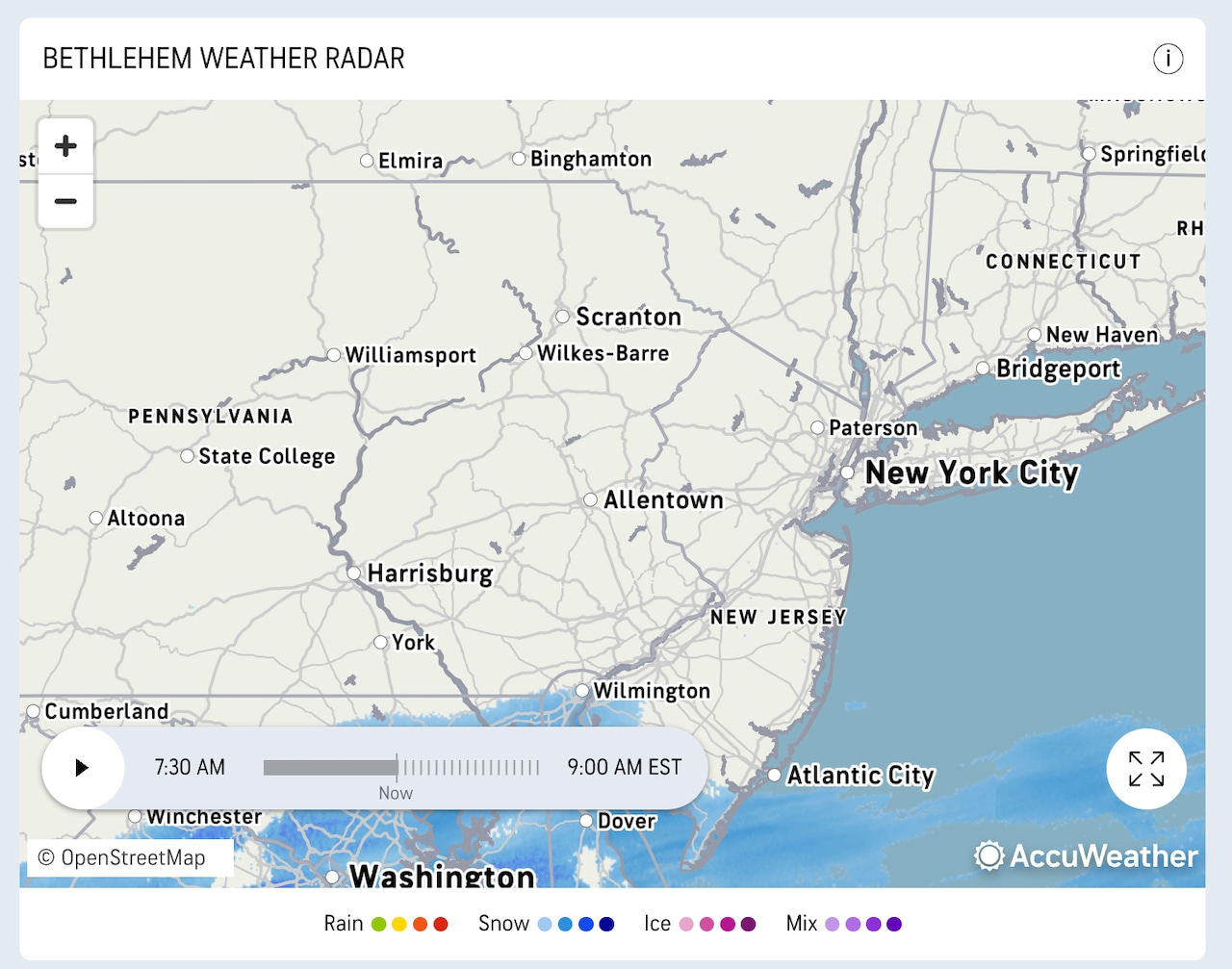
Light snow remains possible for the region Friday morning, particularly near the Interstate 78 corridor, though accumulations are not expected to exceed 1 inch. Areas further south may see slightly higher snowfall amounts, meteorologists said.
Occasional flurries and snow showers are possible through mid-afternoon Friday, with precipitation ending by late afternoon. Winds will be light and variable, shifting from north to east-northeast.
Residents should dress in multiple layers and be prepared for very cold conditions, especially during morning hours.
Looking ahead, temperatures will remain well below normal through early next week.
Monday and Tuesday are expected to be particularly cold, with daytime highs potentially 20 degrees below average.
However, weather service meteorologists said they aren’t forecasting to break any record lows at that time. The Dec. 9 record at the Lehigh Valley International Airport was 7 degrees in 2002, according to National Weather Service data.
The cold front Sunday night could bring a slight chance of light snow, primarily in east-central Pennsylvania and northern New Jersey.
Another low-pressure system is forecast to approach the region Wednesday and Thursday, potentially bringing additional unsettled weather.
Residents should continue monitoring local forecasts for updates on this developing weather pattern.
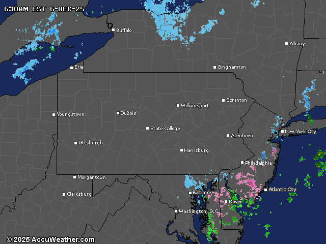
Current radar: