
Temperatures could reach the single digits overnight into Tuesday in the Lehigh Valley, and some snow could fall later in the week.
The National Weather Service in Mount Holly, New Jersey, said temperatures will drop to well-below freezing overnight in the region. A high of 9 is predicted, which would make it the coldest night of the season so far, according to forecasters.
They noted that those temperatures are “anomalously cold,” and could break records for that day. The coldest Dec. 9 for the Lehigh Valley was set in 2002 at 7, so the predicted temperature will be very close to the record, according to weather service data.
Low temperatures should be a warmer, in the 20s and 30s, through the rest of the week.
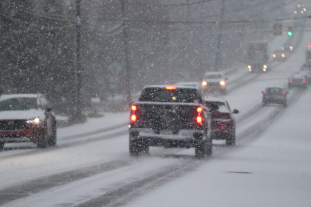
Precipitation is expected to develop over the region Wednesday, with snow expected in the southern Poconos and the Lehigh Valley. Less than an inch of snow is likely, and the snow should turn to rain later that day.
Thursday should be dry, but there is a possibility of more snow again Friday. Forecasters said models are not clear on what exactly that might be as of Monday morning.
Saturday and Sunday should be sunny.
Here is the extended forecast from the National Weather Service:
Tuesday: Increasing clouds, with a high near 32. Calm wind becoming south around 5 mph in the afternoon.
Wednesday: Rain and snow likely before 10 a.m., then rain. High near 43. South wind 5 to 10 mph, with gusts as high as 20 mph. Chance of precipitation is 80%. New snow accumulation of less than a half inch possible.
Thursday: Mostly sunny, with a high near 38.
Friday: Partly sunny, with a high near 36.
Saturday: Partly sunny, with a high near 30.
Sunday: Partly sunny, with a high near 30.