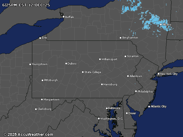
Snow showers and gusty winds are gradually tapering off across central Pennsylvania tonight, with winter weather advisories remaining in effect until 4 a.m. Friday for several counties. Travelers should watch for slick spots on untreated roads, as wet patches might freeze.
The lake effect snow and orographically enhanced snow bands will weaken through the night, with winds of 35-45 mph also subsiding as pressure gradients loosen.
Friday will bring a brief reprieve with variable clouds, lighter winds and temperatures three to six degrees warmer than Thursday before conditions deteriorate again.
A more significant weather system is expected Saturday night through Sunday morning, bringing accumulating snow to central Pennsylvania.
The highest probability for more than 3 inches of snow is in the southern Laurel Highlands and southeastern portion of the Lower Susquehanna Valley. The snow will be dry and fluffy as arctic air moves into the region.
Sunday will see temperatures plummet 10 to 20 degrees below Saturday’s highs, with departures from climatological normals of 15 to 25 degrees.
Some locations could approach record low maximum temperatures. Wind chills near or below zero are expected Saturday night through Monday morning.
Looking ahead, another light snow event is possible early next week before a pattern change brings milder conditions. By late next week, temperatures could climb into the 40 to 50 degree range, marking a significant December thaw as the pattern transitions to a milder southwest flow aloft.
The astronomical winter solstice begins at 10:03 a.m. on Sunday, December 21.
Current weather radar