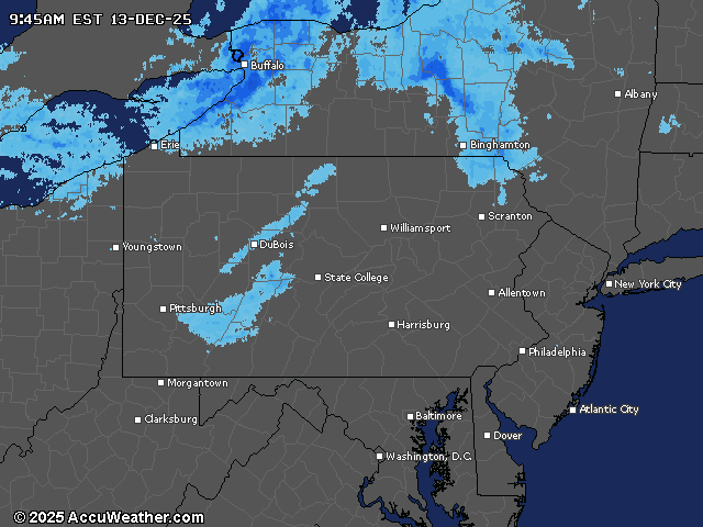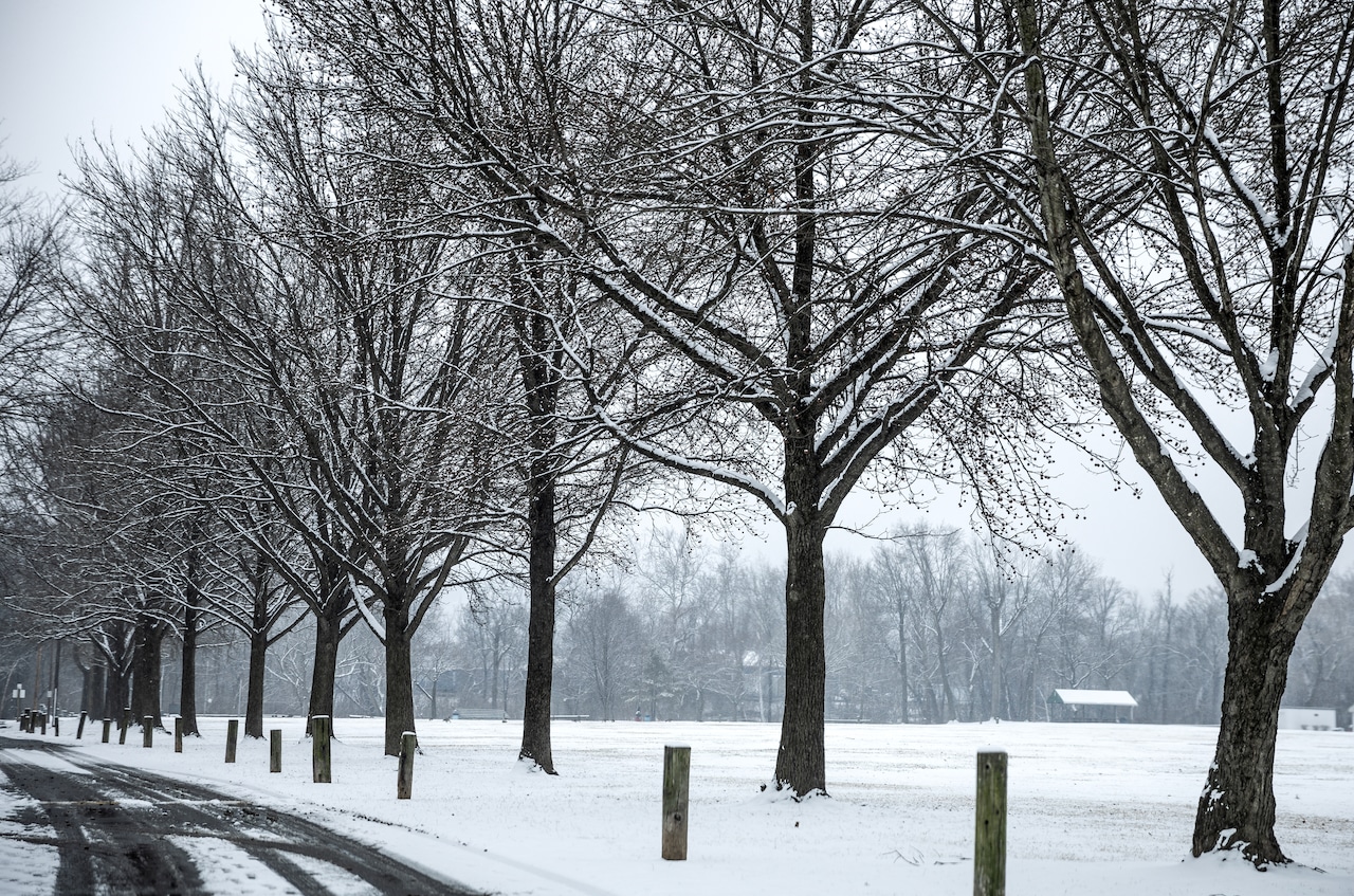
Accumulating snow will fall across Pennsylvania starting Saturday afternoon. It’ll begin in the west before reaching the Susquehanna Valley by early evening.
The snowfall will continue into early Sunday, followed by an arctic blast that will bring dangerously cold temperatures and strong winds.
The snow will begin in the Laurel Highlands during early to mid-afternoon before expanding northward across the Alleghenies by late afternoon. Western Pennsylvania can expect moderate snowfall, while lighter amounts are forecast for the eastern portions of the state.
Snowfall in Dauphin County is expected to start light around 7 p.m. and then pick up between 9 a.m. and 1 a.m., with about an inch accumulation. The high temperature will be around 41.
Neighboring counties could see more: Lancaster and York counties are under a winter weather advisory with 2-3″ of snow expected between 7 p.m. Saturday and 1 p.m. Sunday.
By Sunday, temperatures will plummet 10 to 20 degrees below Saturday’s highs, with some locations approaching record lows. In the Harrisburg area, the high temperature will be in the 20s.
Wind gusts up to 30 mph are expected Sunday, creating dangerous wind chills near and below zero from Saturday night through Monday morning.
A significant pattern change is expected by midweek, bringing milder conditions. Temperatures will climb above normal Wednesday into late Thursday. Highs could reach the 40- to 50-degree range.
Winter starts next Sunday, Dec. 21. Whether central Pennsylvania will have a white Christmas remains to be seen.
Current weather radar