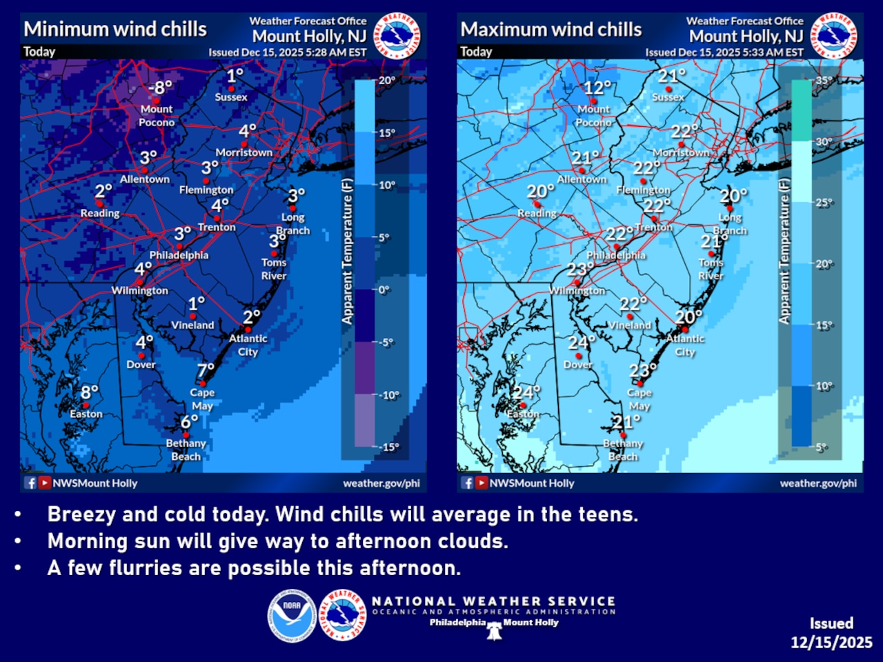
A cold arctic air mass is gripping the Lehigh Valley, with temperatures struggling to reach freezing and wind chills remaining in the teens and 20s Monday.
A weak upper-level disturbance may produce isolated snow showers, particularly near and north of Interstate 78. Any accumulation would be minimal to perhaps a coating in higher elevations.
The National Weather Service wind gusts up to 20-25 mph diminishing throughout the day. Morning temperatures will remain in the mid-20s to low 30s, with wind chills making it feel even colder. Monday night, temperatures are expected to drop into the teens, with wind chills potentially reaching single digits in elevated areas.
The first two weeks of December 2025 are among the coldest on record in the Lehigh Valley, according to the National Weather Service: The average high of 35.5 degrees and average low of 19.7 degrees for Dec. 1-14 rank sixth-coldest and eighth-coldest, respectively, for this time frame since 1939 at Lehigh Valley International Airport.
Snowfall is running above average for December at the airport outside Allentown, with 6.2 inches recorded compared to a normal 1.8 inches through Sunday. Reports to the weather service show the following range of snowfall totals from Saturday night into Sunday:
Bucks County
From 5.2 inches in Lahaska to 8.3 inches in Doylestown.
Carbon County
From 5.6 inches in Lehighton to 9 inches in Summit Hill.
Lehigh County
From 4.5 inches in Slatington to 8 inches in Coopersburg.
Monroe County
From 3.8 inches in Canadensis to 8.6 inches in Jackson Township.
Northampton County
From 3.9 inches in Bath to 7 inches in Pen Argyl and Hellertown.
Warren County
From 5 inches in Blairstown and Oxford townships to 6.5 inches in Hardwick Township.
A gradual warming trend is expected to begin Tuesday, with temperatures climbing into the lower 30s and increasing cloud cover. By Wednesday, southwest winds will push temperatures into the 40s, offering a brief respite from the current cold pattern. A warm front approaching from the northwest will set the stage for milder conditions, with Thursday potentially reaching near 50 degrees — the warmest day in weeks.
A strong cold front is anticipated Thursday night into Friday, bringing rain and gusty winds. Temperatures will quickly drop back into the 40s after the front passes, with Friday night seeing lows return to the teens and 20s. The weekend outlook suggests another frontal system may bring additional rain chances on Saturday night and Sunday.
Residents should continue to dress in layers, protect exposed skin during outdoor activities, and be prepared for rapidly changing weather conditions over the next several days.
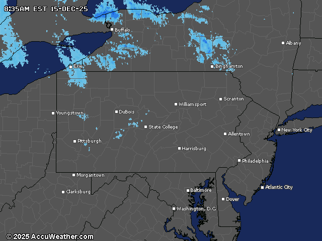
Current weather radar