A powerful storm system will bring widespread rainfall to central Pennsylvania Thursday evening through early Friday morning, followed by potentially damaging winds gusting up to 60 mph in some areas on Friday.
First, on Thursday morning, freezing fog is possible until mid-morning as temperatures go from the 20s to the mid-40s.
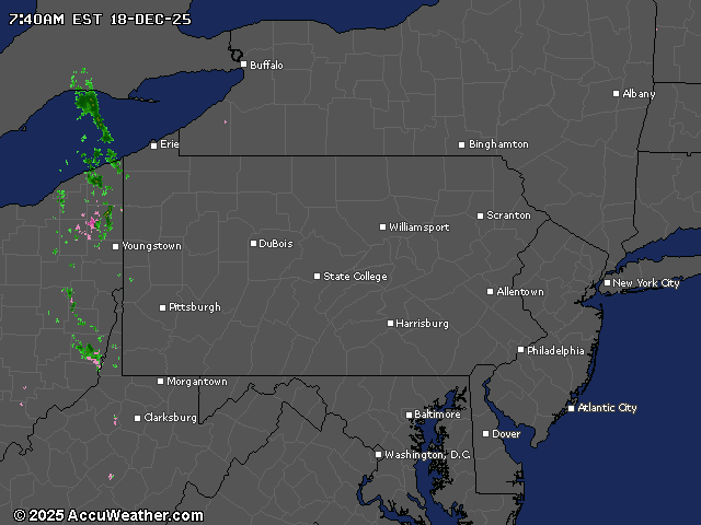
After a partly cloudy day in central Pennsylvania, rain will start this evening. The heaviest precipitation is expected as a cold front passes through between 1 and 9 a.m. Friday.
Rainfall totals could range from a quarter inch in western part of the state to over an inch in the Susquehanna Valley and points east.
A few thunderstorms are possible.
The National Weather Service has issued a wind advisory that goes into effect 1 a.m. Friday, covering much of the state, including the Harrisburg region.
Friday will bring dangerous wind conditions as temperatures fall throughout the day. Wind gusts of 40 to 50 mph are expected across much of central Pennsylvania, with gusts up to 60 mph possible in the Laurel Highlands.
The high temperature Friday in the Harrisburg area is expected to be in the mid-50s before falling back into the 30s and 40s this weekend.
Winter begins Sunday.
Current weather radar