
A “clipper system” moving through the region Tuesday could bring several inches of snow to the highest elevations of the Lehigh Valley, along with rain and even the potential for ice.
A winter weather advisory has been issued for Lehigh and Northampton counties through 1 p.m. While the forecast for this winter storm is largely unchanged, the advisory warns as much as 2 inches are possible in parts of Lehigh County and 3 inches in parts of Northampton County. However, those highest snow amounts are likely at elevations of 1,000 feet.
Much of the Lehigh Valley is expected to see lower accumulations of between a half-inch and inch of snow as rain and sleet mix in. Some areas could even see a glaze of ice, according to the advisory.
To the north, the Poconos could see slightly higher snowfall totals, with up to 4 inches possible in areas of Monroe and Carbon counties, according to the advisory.
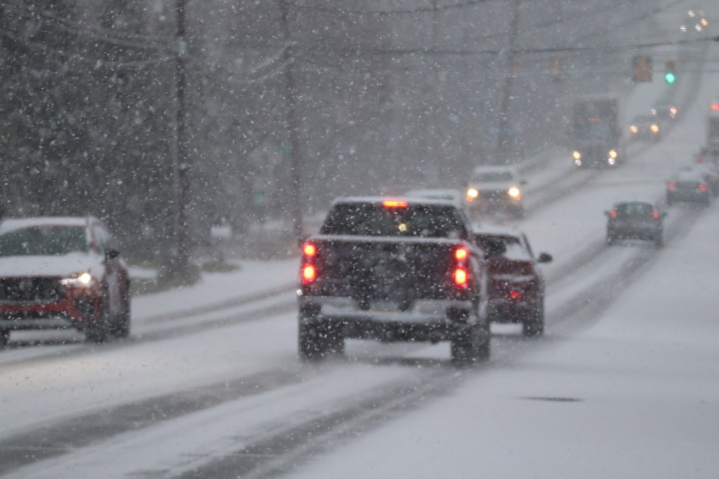
Snow and ice could lead to slippery roads and “hazardous” travel conditions throughout the morning, the weather service warns. Motorists should use caution.
The precipitation should end by the early afternoon as temperatures start to warm, according to the weather service’s forecast discussion. However, there is a chance of lingering showers until around 4 p.m.
“Most areas should eventually warm above freezing into the afternoon, which should help to start melting away our light snowfall accumulations and improve lousy road conditions for the holiday travelers,” according to the forecast discussion.
However, northern areas could see overnight lows dip to below freezing, creating the potential for icy conditions as melted snow refreezes on untreated roads, according to the weather service.
Here is the extended forecast from the National Weather Service.
Tuesday: Rain and snow before 3 p.m., then a slight chance of rain between 3pm and 4pm. High near 38. Southeast wind around 5 mph becoming southwest in the afternoon. Chance of precipitation is 90%. New snow accumulation of less than a half inch possible.
Tuesday Night: Mostly cloudy, then gradually becoming mostly clear, with a low around 34. West wind 5 to 15 mph.
Wednesday: Sunny, with a high near 42. Northwest wind 10 to 15 mph, with gusts as high as 30 mph.
Wednesday Night: Mostly cloudy, with a low around 27. Calm wind.
Christmas Day: Mostly cloudy, with a high near 42.
Thursday Night: Mostly cloudy, with a low around 24.
Friday: Snow, mainly after 1 p.m. High near 31. Chance of precipitation is 80%.
Friday Night: Snow and freezing rain. Low around 25. Chance of precipitation is 90%.
Saturday: A chance of rain or freezing rain before 1 p.m., then a chance of rain. Cloudy, with a high near 36. Chance of precipitation is 30%.
Saturday Night: A chance of rain and snow. Cloudy, with a low around 32. Chance of precipitation is 50%.
Sunday: Rain likely. Cloudy, with a high near 43. Chance of precipitation is 70%.