
The Lehigh Valley won’t get a white Christmas this year, but residents should not have to wait long to see more snow.
Forecasters with the National Weather Service in Mount Holly, New Jersey, said another winter storm is expected to affect the area Friday into Saturday, and up to 2 inches of snow or sleet is possible.
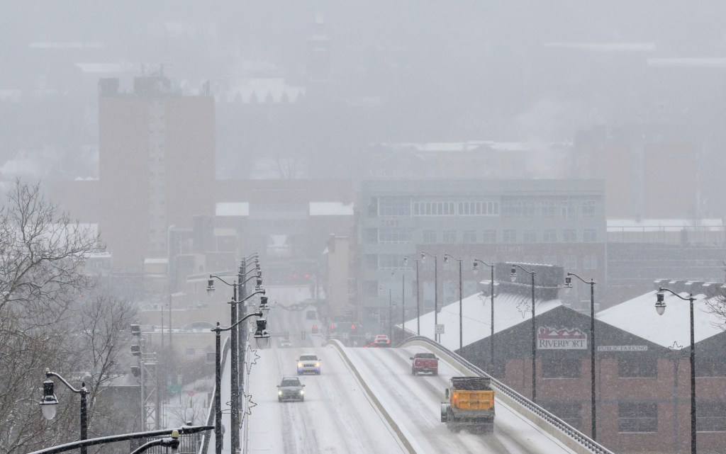
Widespread wintry precipitation is expected Friday afternoon into the evening. As of Wednesday, forecasters believe there is a 65% chance of 2 inches or more of snow and sleet. Holiday travel will likely be affected by the storm.
“Folks with travel plans from Friday afternoon through Friday night should expect impacts to their plans, as road conditions will likely deteriorate during this time with snowy and/or icy roads,” forecasters wrote Wednesday in their daily forecast discussion.
They said they are “100% confident” that there will be wintry precipitation, but they are not clear on what the exact amounts will be, and what the precipitation might look like. Uncertainty on exact totals remains, they said.
Neighboring Carbon, Monroe, Berks and Bucks counties are also expected to get snow, according to forecasters.
❄️🧊 Travel disruptions are likely starting Friday afternoon into early Saturday as a winter storm impacts the region. Exact forecast totals remain very uncertain, but confidence in widespread wintry precip is near 100% for the outlined areas. #PAwx #NJwx #DEwx #MDwx pic.twitter.com/Jfpdd71hKa
— NWS Mount Holly (@NWS_MountHolly) December 24, 2025
So far, about 6 inches of snow has fallen this month in the Lehigh Valley. The most recent winter storm Tuesday brought less than an inch of snow to most of the region.
Despite recent snowfall, both Lehigh and Northampton counties are under drought conditions, according to the U.S. Drought Monitor. Rainfall has been about 8 inches below normal the past six months, weather service data states.
As temperatures warm, rain is possible Sunday and Monday.
Here is the extended forecast from the National Weather Service:
Thursday: Cloudy through mid morning, then becoming mostly sunny, with a high near 44. Light and variable wind becoming west 5 to 10 mph in the morning.
Friday: Snow likely after 1 p.m. Cloudy, with a high near 30. North wind around 5 mph becoming east in the afternoon. Chance of precipitation is 60%. New snow accumulation of 1 to 2 inches possible.
Saturday: A chance of snow and freezing rain before 1pm. Cloudy, with a high near 35. Chance of precipitation is 40%.
Sunday: Rain, mainly after 1pm. High near 40. Chance of precipitation is 80%.
Monday: A chance of rain. Partly sunny, with a high near 35. Chance of precipitation is 30%.
Tuesday: Partly sunny, with a high near 29.