A swift-moving arctic front is crossing the Lehigh Valley region Thursday morning, bringing intense wind gusts up to 35 mph and rapidly dropping temperatures. Residents should prepare for a dramatic temperature plunge and wind chill values in the single digits.
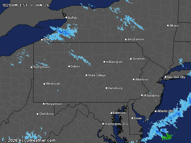
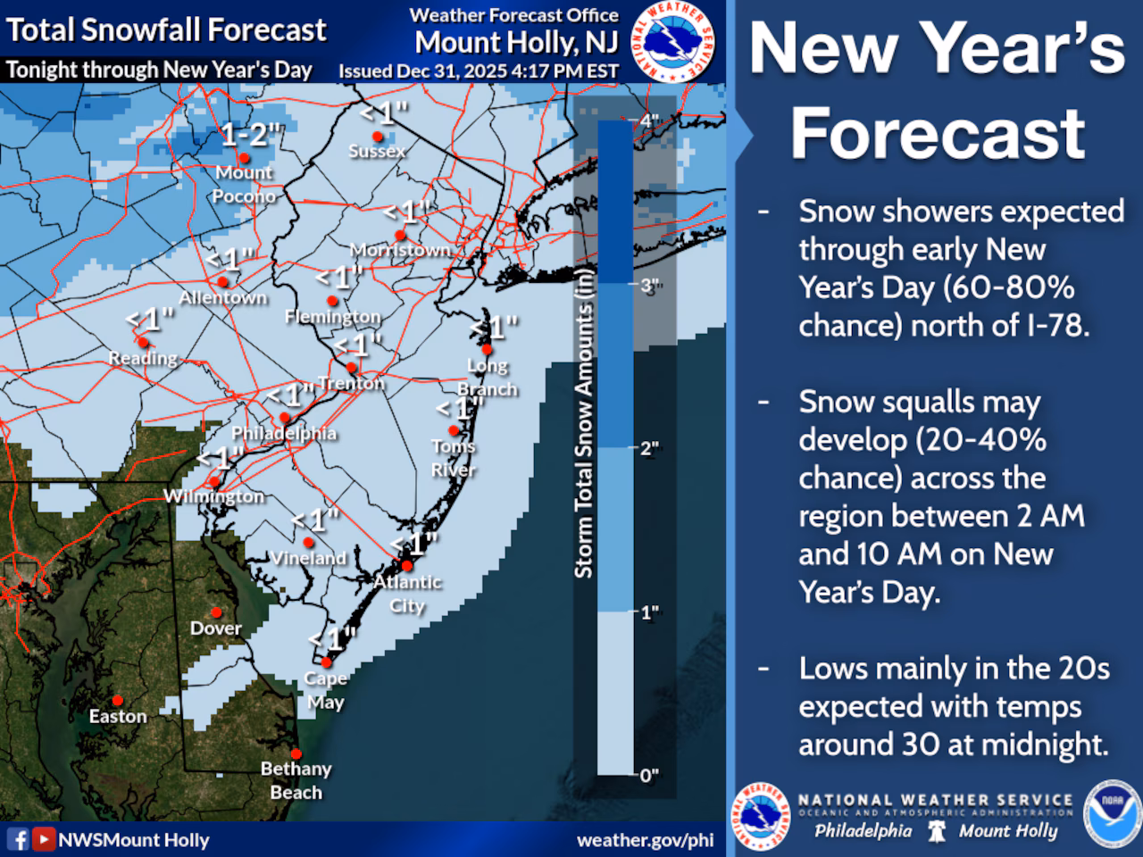
Snow showers were moving through the Lehigh Valley to start the new year, with the potential for a quick coating to one inch of snowfall.
The National Weather Service warned of the potential for brief but intense snow squalls, with the main squall line moving well south of the Lehigh Valley through southeast New Jersey and southern Delaware.
Squalls could create sudden reduced visibility and slick road conditions during the morning commute. Wind gusts between 40 and 50 mph are possible, especially in exposed areas.
Temperatures will struggle to reach the upper 20s to low 30s Thursday, with northwest winds maintaining a biting wind chill. Overnight lows are expected to drop into the teens, with wind chills potentially reaching the single digits. Residents are advised to dress in layers, cover exposed skin, and limit outdoor exposure during these extreme conditions.
The cold pattern continues through the weekend, with Friday remaining dry but cold. Temperatures will hover in the 30s, with the Pocono Mountains and northwestern New Jersey potentially seeing even colder readings in the 20s. Saturday will bring increasing cloud cover ahead of a potential light snow system developing to the south, though significant precipitation is not currently anticipated.
A gradual warming trend is expected next week, with temperatures potentially climbing above average by Wednesday. A warm front may bring milder air and a chance of light precipitation midweek.
Current weather radar