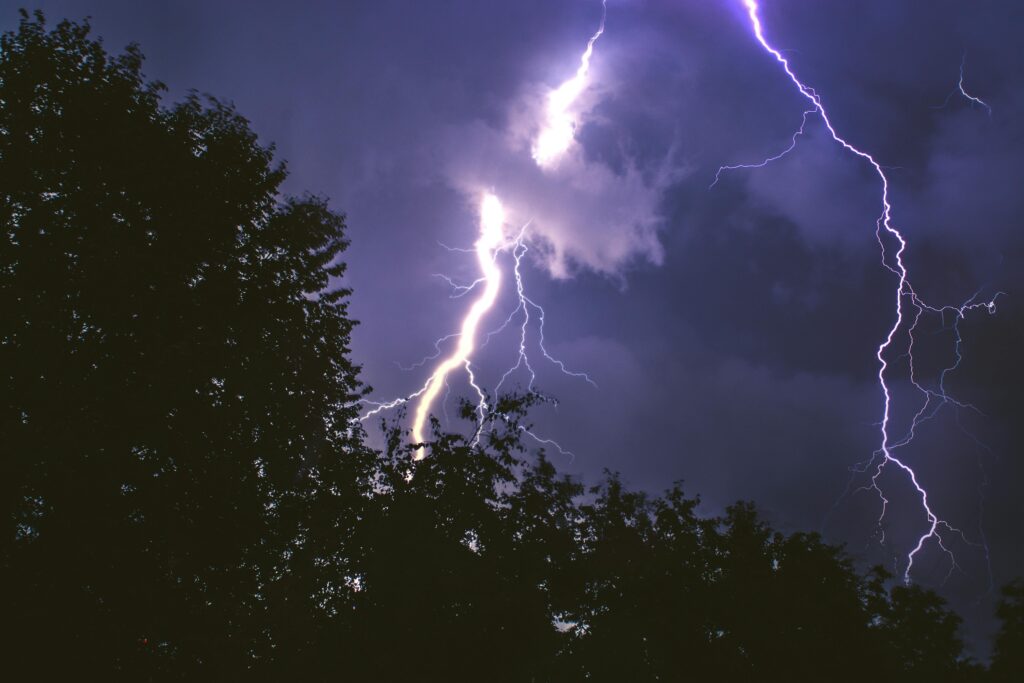
 Night time thunderstorms are expected across portions of eastern Pennsylvania, New Jersey, and southeastern New York Sunday night into Monday morning. Unfortunately, some storms may become severe and could contain isolated tornadoes in the middle of the night.
There’s a growing risk of severe thunderstorms and isolated nighttime tornadoes in portions of Pennsylvania and New Jersey Sunday into Monday. A robust frontal system will swing through creating the right conditions during a short window of severe weather; however, it appears the greatest threat will be at night, setting the stage for potentially severe nocturnal conditions. The threat area continues into southeastern New York too but the greatest threat will be in New Jersey and Pennsylvania.
According to National Geographic, nocturnal tornadoes are extremely dangerous, with research showing they are significantly more likely to be fatal than daytime tornadoes. This increased danger stems from people being asleep and unaware, the difficulty of visually spotting tornadoes in the dark, and the need for effective weather alert systems and preparedness plans that often aren’t thought of for nighttime events.
A deep upper level trough will creep closer to the Mid Atlantic on Sunday with surface low pressure tracking through the northern Great Lakes. As it does so, a warm front lifts north across the Mid-Atlantic on Sunday morning. Given the strength of this trough is rather strong, the National Weather Service says the southerly flow will be enhanced out ahead of it causing a surge of both warm air and moisture advection to stream northward.
The presence of the warm and moist air will be short-lived; a cold front should cross through the region overnight Sunday night into early Monday morning. As this cold front with dry air slices into the warm, moist air, lines of showers and thunderstorms are likely to form. Within some of these thunderstorms, there could be isolated tornadic cells.
In fact, some computer forecast model data suggests an elevated threat of tornadic cells throughout all of eastern Pennsylvania and the northern two-thirds of New Jersey, with an especially elevated area north and east of Philadelphia, Pennsylvania and south and west of New York City, New York. Unfortunately, the peak of this severe weather threat is during the overnight period when many people would be sleeping in the area.
It is possible that Severe Thunderstorm or Tornado Warnings may be necessary for some counties during the overnight hours.
While damaging wind gusts and isolated tornadoes are a possibility, flooding should not be a hazard with this event. Showers and storms are expected to be moving fast enough that flooding isn’t expected by the National Weather Service; storm total rain amounts of 0.25-1.25″ are possible and should not cause any widespread flood issue.
After sunrise Monday, the severe weather threat will shift to central and southeastern New England and diminish. In the wake of the frontal passage, temperatures on Monday are expected to be around 10 degrees lower than Sunday, with highs ranging from the mid 50s to mid 60s.

