
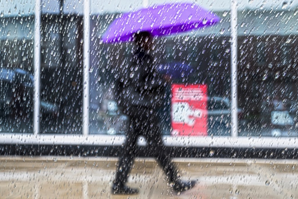
Persistent rain is expected to cover the Lehigh Valley for most of Saturday.
The National Weather Service in Mount Holly, New Jersey says that low pressure will bring widespread — and beneficial — rainfall to the region. It is expected to continue through the evening before tapering off overnight.
Travelers should be aware of localized flooding and patchy fog. Temperatures will remain in the low 40s, and fall to the mid-30s in the evening.
☔️ A rainy Saturday ahead. Low pressure brings widespread (and beneficial) rainfall to the area later this morning. Rain continues through this evening before tapering off overnight. Locally poor drainage flooding and patchy fog may be possible at times.#NJwx #MDwx #PAwx #DEwx pic.twitter.com/rZm1zJRp3W
— NWS Mount Holly (@NWS_MountHolly) January 10, 2026
“Rainfall totals will range from one third of an inch to around 1 inch along the I-95 corridor and points north and west; totals south and east of the I-95 corridor will be around 1 to 1.5 inches,” NWS forecasters said in a discussion post.
The rain is expected to help with severe drought conditions in the Lehigh Valley. Rainfall has been about 9 inches below normal during the past six months, according to the NWS.
Wet weather could return later next week, which could include snow on Thursday, though what it could be remains to be seen.
Here is the extended forecast from the National Weather Service:
Sunday: Mostly sunny, high near 42
Sunday night: Partly cloudy, low around 28
Monday: Mostly sunny, high near 40.
Monday night: Partly cloudy, low around 29.
Tuesday: Mostly sunny, high near 45.
Tuesday night: Mostly cloudy, low around 37.
Wednesday: Mostly cloudy, high near 50.
Wednesday night: Mostly cloudy, low around 28.
Thursday: A chance of snow, high near 35. Chance of precipitation is 30%.
Thursday night: Partly cloudy, low around 19.
Friday: Mostly sunny, high near 34.