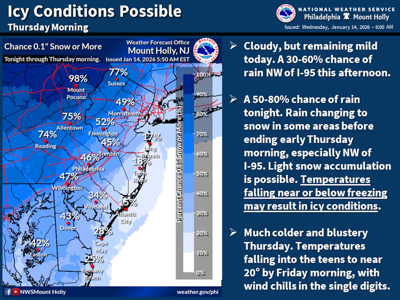
A rapidly changing weather system will bring light rain transitioning to snow Wednesday evening, with temperatures dropping quickly and creating potentially icy road conditions for Thursday morning’s commute across the Lehigh Valley and Pocono regions.
The National Weather Service forecast indicates light rain will develop Wednesday afternoon, primarily north and west of the I-95 corridor.
As temperatures fall overnight, precipitation will change to snow, with the Pocono Plateau potentially seeing one to two inches of accumulation. Areas north and west of I-95, including the Lehigh Valley, could experience a quick dusting to a half-inch of snow.
The most significant hazard will be rapidly falling temperatures behind a cold front, which may cause roadways and bridges to become slick.
Areas northwest of I-95 face the highest risk of icy conditions, especially where snow accumulates before precipitation ends. The NWS recommends travelers use extreme caution during Thursday morning’s commute.
Following the storm system, extremely cold temperatures will persist. Wind chills are expected to drop into the single digits Thursday night and remain low through Friday morning. Daytime temperatures will struggle to reach the low to mid-30s, with westerly winds of 15-20 mph creating wind chills in the upper teens to low 20s.
An extended period of below-normal temperatures is forecast from Sunday through mid-next week, with daytime highs in the 20s and 30s and nighttime lows potentially reaching single digits, particularly north of Interstate 78.
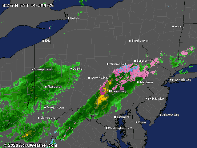
Current weather radar