

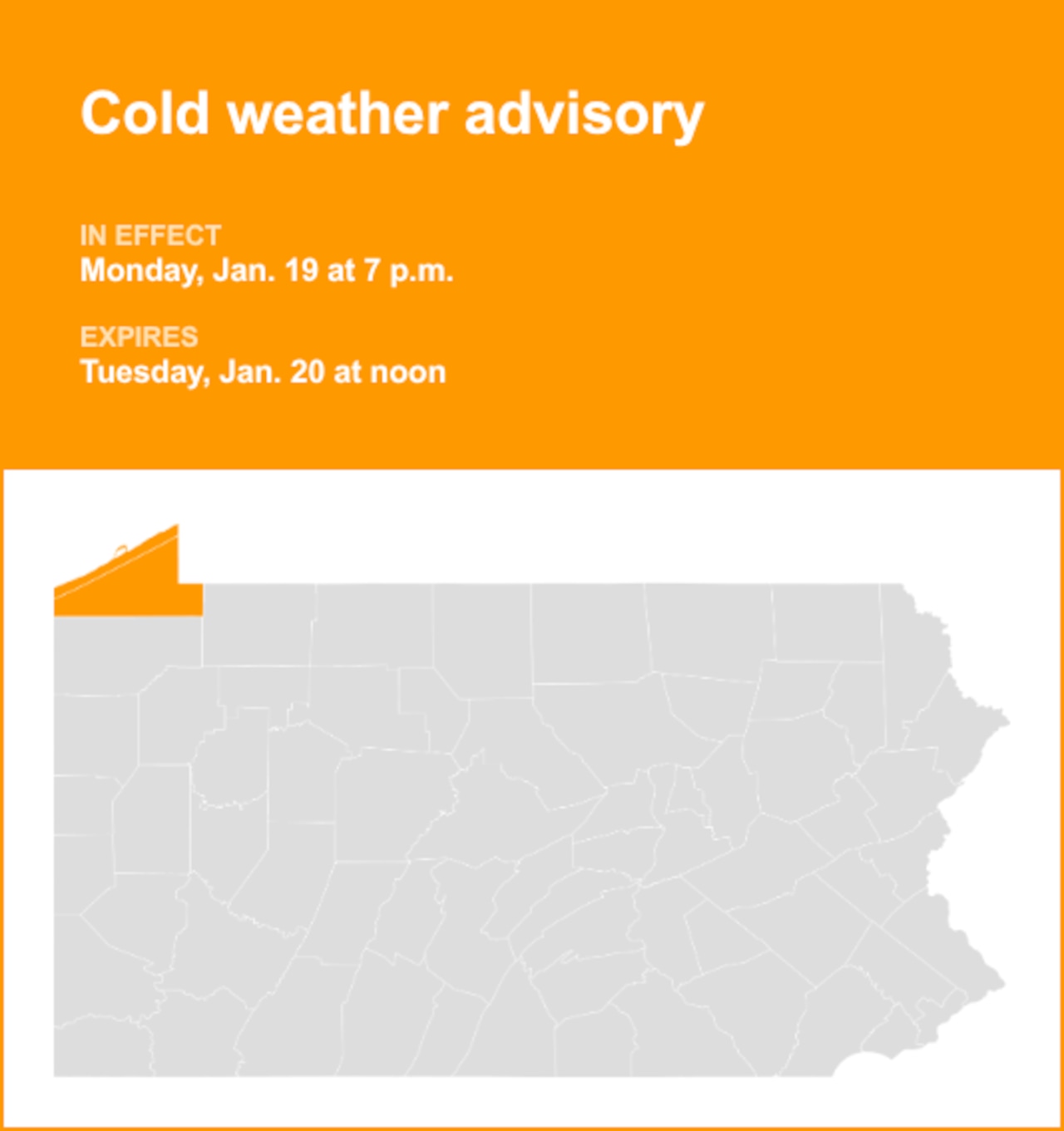
At 1:50 p.m. on Sunday, the National Weather Service issued a cold weather advisory valid from Monday 7 p.m. until Tuesday noon for Northern Erie and Southern Erie.
“Very cold wind chills as low as 15 degrees below zero expected,” comments the weather service. “The strongest winds and gusts are expected from the lakeshore to Interstate 90.”
“Gusty winds will blow around unsecured objects. Tree limbs could be blown down and a few power outages may result. The cold wind chills as low as 15 degrees below zero could result in hypothermia if precautions are not taken,” explains the weather service. “Winds this strong can make driving difficult, especially for high profile vehicles. Use extra caution. Use caution while traveling outside. Wear appropriate clothing, a hat, and gloves.”
 Understanding cold weather alerts
Cold weather advisory: Be Aware. A cold weather advisory is issued when seasonably cold air temperatures or wind chill values, but not extremely cold values, are expected or occurring. Be sure you and your loved ones dress appropriately and cover exposed skin when venturing outdoors.
Extreme cold warning: Take Action! An extreme cold warning is issued when dangerously cold air temperatures or wind chill values are expected or occurring. If you are in an area with an extreme cold warning, avoid going outside. If you have to go outside, dress in layers, cover exposed skin, and make sure at least one other person knows your whereabouts. Update them when you arrive safely at your destination.
Extreme cold watch: Be Prepared. An extreme cold watch is issued when dangerously cold air temperatures or wind chill values are possible. As with a warning, adjust your plans to avoid being outside during the coldest parts of the day. Make sure your car has at least half a tank of gas, and update your winter survival kit.