
The winter weather that figures to have millions of people around the United States shivering and shoveling this weekend isn’t going to leave out northwestern Pennsylvania.
More: Take a webcam tour of Erie-area weather conditions
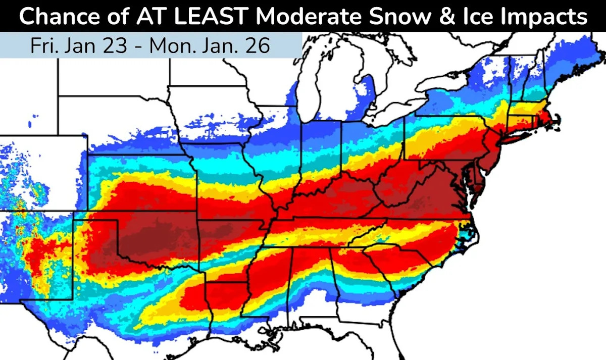
The National Weather Service in Cleveland has issued a winter storm watch for Erie and Crawford counties from Saturday, Jan. 24, at 7 p.m. until Monday, Jan. 26, at 1 p.m. Ashtabula County, Ohio, is under the same watch, and weather service offices in Pittsburgh and State College have issued similarly timed winter storm watches for Mercer, Venango, Forest and Warren counties. The weather service in Buffalo has issued a winter storm watch for Chautauqua County, New York, from 1 a.m. Jan. 25 until 7 p.m. Jan. 26.
Here’s the advance forecast for the Erie and Crawford counties storm watch period and temperatures through the weekend.
Winter storm watch issued for Erie County
A winter storm watch signals the possibility of significant, hazardous winter weather exists within 48 hours.
More: Brrr! See photos as extreme cold covers most of the US
The weather service calls for the potential for half a foot of snow in places between the night of Jan. 24 and the morning of Jan. 26. The heaviest snow is likely Jan. 25. At the same time, low temperatures and sub-zero wind chills will persist nights and mornings.
Snowfall could affect the morning commute Jan. 26, according to the weather service.
Low temperatures, wind chills for Erie County
The weather service forecast for Erie and nearby calls for a high temperature around 28 degrees Jan. 22, falling to around 21 by 4 p.m. Wind will be from the west at 15 mph to 18 mph, gusting as high as 32 mph.
The low Jan. 22 will be around 5. Winds of 13 mph to 15 mph from the southwest will gust to 28 mph at times.
More: Another Erie cold snap increases concern about frostbite, hypothermia
The high around Erie Jan. 23 will be around 14, but the temperature will plunge to around 6 by 1 p.m. Wind chill could be as low as minus 12 because of west winds gusting as high as 30 mph.
The low Jan. 23 will be around zero, with a wind chill near minus 10.
The high Jan. 24 will be around 12 and the low near 6 as the winter storm watch takes effect.
On Jan. 25, the forecast high will be around 20 and the low near 10.
Stay up to date on Erie-area weather
Return to GoErie.com for updates. Get the latest AccuWeather forecast details and radar images for your ZIP code at goerie.com/weather. Download the GoErie app for iOS or Android for mobile-friendly forecasts.
This article originally appeared on Erie Times-News: Erie PA weather forecast for winter storm watch, sub-zero wind chills