
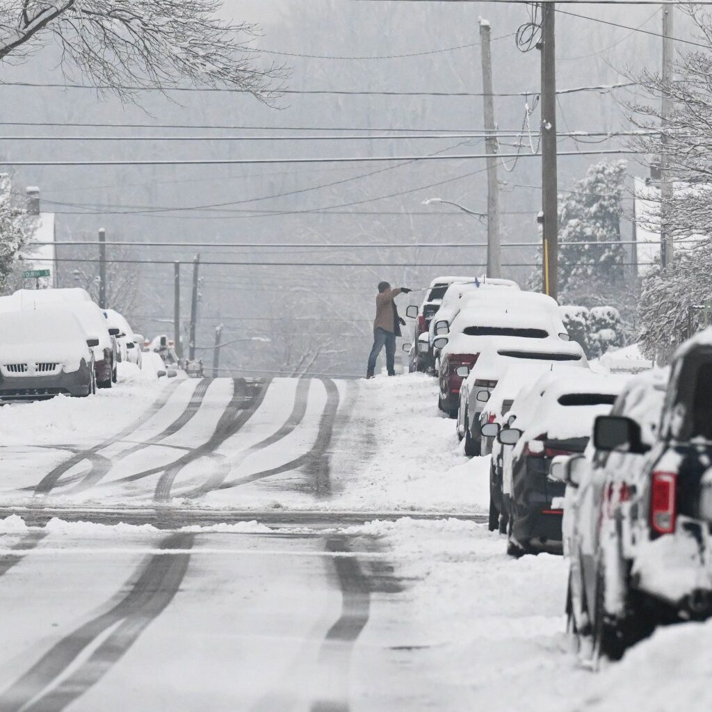
The Lehigh Valley could get anywhere from 8 to 21 inches of snow this weekend during the biggest snowstorm to hit the area in years, forecasters said Thursday morning.
The region will be under a winter storm watch from 1 a.m. Sunday into 1 p.m. Monday, according to the National Weather Service. Heavy snow and significant snow accumulations are likely, and hazardous conditions could affect the morning commute.
Neighboring Berks, Bucks, Carbon and Monroe counties are included in the watch.
Forecasters said Thursday in their weather briefing that there is increasing confidence in a “major winter storm” that will likely hit the area Saturday night and continue through Monday afternoon. Major blowing and drifting snow could cause reduce visibility. Additionally, widespread travel disruptions are expected.
Confidence continues to increase in a major winter storm impacting the region Saturday night through early Monday afternoon. Major impacts from accumulating snow are likely areawide. (1/2) pic.twitter.com/I93QidoZZa
— NWS Mount Holly (@NWS_MountHolly) January 22, 2026
The weather service released a number of different models displaying the snowfall possibilities. The lowest possibility showed the Allentown area getting 8 inches of snow, while the highest possibility showed the region getting 21 inches. Both have a 1 in 10 chance of happening, the weather service said.
There is a 97% chance of 6 inches of snow or more, and a 76% chance of a foot of snow or more, according to the weather service. There is also a low possibility of ice accumulation during the storm. Should this storm bring more than 9 inches of snow, it will be the snowiest storm in the Lehigh Valley in years, weather service data shows.
Forecasters said exact snow totals will not be available until closer to the weekend.
Forecasters also warned that there will be a “dangerous stretch of cold” from Saturday through the following Thursday, with lows expected in the single digits through most days. With wind chills, it could feel below 0 over those days as well.
The good news: Today should be clear, with a high of 41, before temperatures drop over the next few days.
Here is the extended forecast from the National Weather Service:
Friday: Mostly sunny, with a high near 33. Southwest wind 5 to 15 mph, with gusts as high as 30 mph.
Saturday: Partly sunny, with a high near 17. Northwest wind 5 to 10 mph.
Sunday: Snow. High near 20. Chance of precipitation is 100%.
Monday: A chance of snow before 1 p.m. Partly sunny, with a high near 24. Chance of precipitation is 30%.
Tuesday: Mostly sunny, with a high near 22.
Wednesday: Partly sunny, with a high near 26.
10 years ago, the Blizzard of 2016 made history as Lehigh Valley’s biggest snowfall of all time