
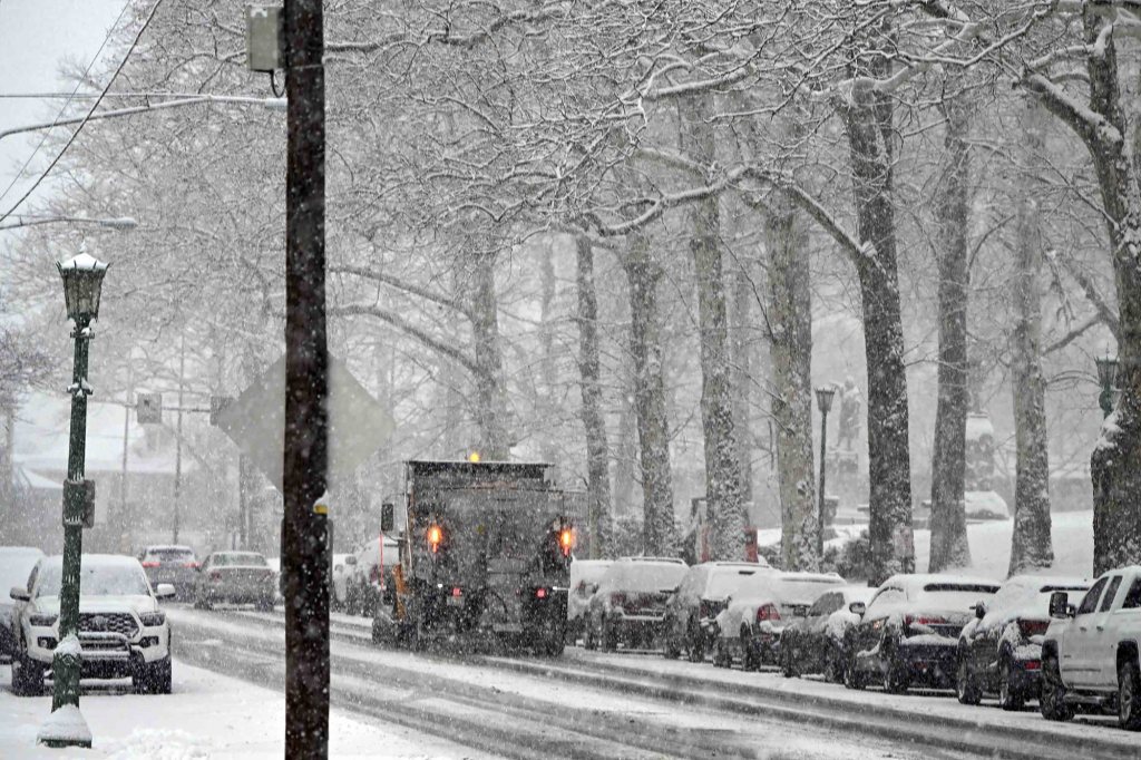
The National Weather Service has issued a winter storm warning beginning early Sunday for southeast Pennsylvania and New Jersey, calling for 6 to 10 inches of snow.
The warning runs from 1 a.m. Sunday through 1 p.m. Monday.
The snow is forecast to begin late Saturday and combined with Sunday’s frigid conditions — a high of 18 — AccuWeather says travel will be extremely difficult and dangerous.
Berks County Chief Operations Officer Kevin Barnhardt said during the weekly commissioners meeting Thursday that he has been engaged in discussions with various county departments this week about the impending snowstorm.
“We’ve been working with our facilities, human resources, legal and public relations teams as well as our around-the-clock operations to prepare for the storm,” he said. “We have been in touch with Reading since we are right in the heart of the city, and hundreds of people work here and come here for services.”
He said the county will continue to update the community on its website and on the Berks Alert system of any issues that arise.
“We’re anticipating a pretty heavy storm and everybody is getting prepared for it,” he said.
AccuWeather says the winter storm is set to spread heavy snow and ice across more than two dozen states, threatening travel, power outages and dangerous cold from the South and Plains to the Northeast.
AccuWeather Chief Meteorologist Jonathan Porter said thousands of flights across the country could be canceled.
A push of Arctic air from the north bringing the coldest air of the winter so far in some areas will determine the northern edge of the snow, the southern extent of the ice and where a mix of snow and ice occurs, according to AccuWeather.
In some areas, the length of the storm could result in snow, ice, or a combination of both lasting well beyond 24 hours.
Some areas in the southern part of the nation could experience the worst snow or ice storm in years, AccuWeather said.
In portions of the Northeast, the storm could be the biggest of the winter so far, aside from localized lake effect.
According to AccuWeather’s forecast, residents have a couple of days to prepare for the weekend blast:
• Today: Partly sunny and breezy; high of 44, low of 22.
• Friday: Colder with a blend of sun and clouds; breezy in the afternoon; high of 34, low of 4.
• Saturday: Cloudy and bitterly cold; extended time outside can lead to hypothermia; unprotected pipes may freeze; high of 15, low of 10. 2-4 inches of snow late; rapidly deteriorating road conditions can lead to slow and slippery travel.
• Sunday: Frigid with snow; high of 18, low of 12.
• Monday: Rather cloudy and very cold; high of 22, low of minus 6.