An extreme cold front and potential winter storm are poised to deliver punishing weather conditions to the Lehigh Valley, northwestern New Jersey and Poconos — with wind chills potentially dropping below zero degrees and significant snowfall expected this weekend.
The National Weather Service has issued a Winter Storm Watch for the entire region from Saturday evening through early Monday afternoon. Temperatures will plummet dramatically, with wind chills potentially reaching minus 20 degrees in the Poconos on Friday night. Residents should prepare for dangerous cold and potential winter storm impacts.
The arctic air mass will first bring extremely low temperatures, with Friday night seeing temperatures dropping into single digits. Wind gusts of 20-35 mph will create life-threatening wind chill conditions. By Saturday, high temperatures will struggle to reach the low 20s, making outdoor activities hazardous.
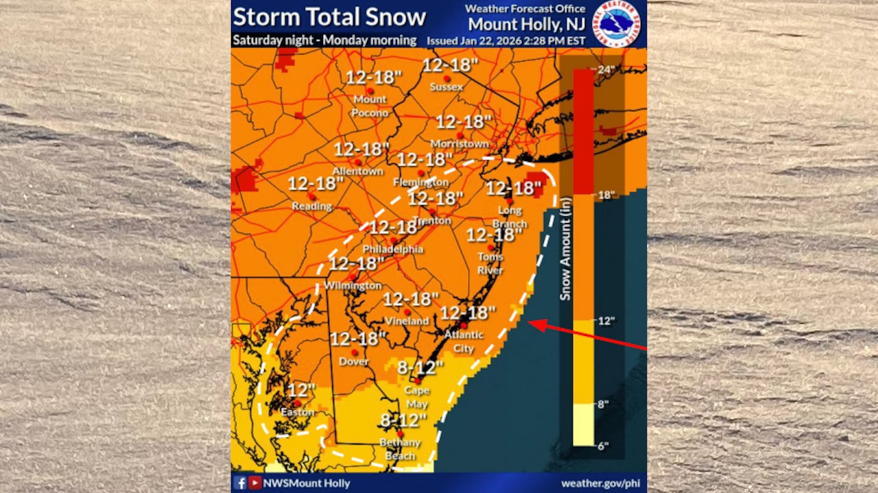
A significant winter storm is increasingly likely Saturday night through Monday morning. Snow accumulations could exceed 10 inches in some areas, with potential for mixed precipitation. The storm’s exact track remains uncertain, but forecasters indicate a high probability of substantial snowfall across the Lehigh Valley and surrounding regions.
The storm watch issued Thursday afternoon says total snow accumulations of 12 to 16 inches are possible across an area encompassing Berks, Carbon, Monroe, Lehigh, Northampton, Bucks, Warren and Hunterdon counties.
After the storm passes, bitter cold will persist. Temperatures are expected to remain below freezing through Wednesday, with daytime highs potentially only reaching the low to mid-20s. Overnight low temperatures could drop into single digits, creating continued risk of hypothermia for those unprepared.
Residents are advised to take extreme precautions, including:
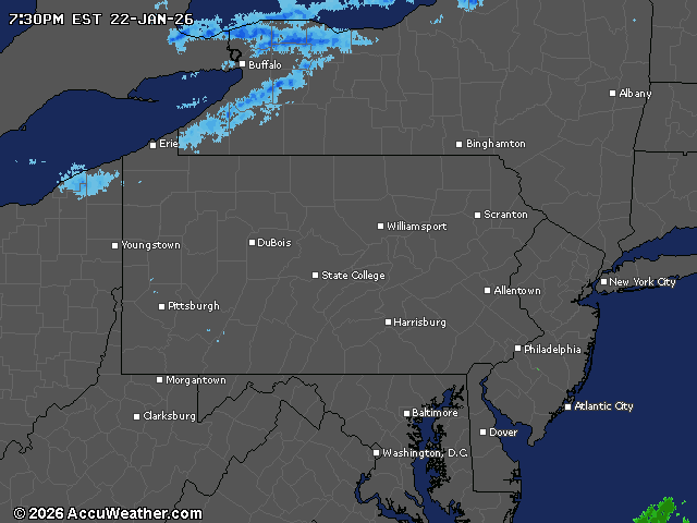
Current weather radar