
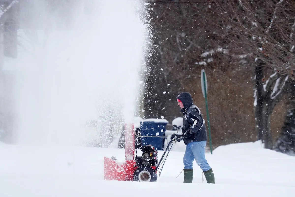
A massive winter storm is set to hit every state east of the Rockies this weekend, bringing a widespread potential for record-breaking snowfall, sleet and ice, as well as dangerously cold temperatures with wind chills plunging as low as -60 along the Great Lakes.
While snow is expected all the way from the Southwest to the Northeast, and everywhere in between, AccuWeather meteorologist Bob Larson told USA TODAY there is potential for portions of Pennsylvania, Maryland, West Virginia and Virginia to receive up to 24 inches of snow or more.
“This will be a large and potentially historic storm, with major impacts over a very large area (more than 2 dozen states),” AccuWeather meteorologist Bob Larson said in an email, noting that “the greatest risk of a major ice storm will extend from Texas to the Carolinas.”
➤ Weather alerts via text: Sign up to get updates about current storms and weather events by location
The snow may be wet and heavy in some areas, especially around Pittsburgh, which could slightly reduce total accumulation, but Winter Storm Warning-level impacts are expected statewide.
Along with snow, the region will see a prolonged cold snap. Tonight could bring the coldest temperatures of the season so far, ranging from 5 below to 5 above zero. Wind chills will make it feel like 10 to 20 below in many areas. Highs through next week will mainly stay in the teens, with lows in the single digits, raising concerns about frozen pipes and the development of river ice.
More: Big winter storm to spread snow and ice across US: Live updates
What’s the record snow for Pennsylvania?
41.0 inches of snow was measured at Lakeville 1 NNE in Wayne County over a 24-hour period ending Feb. 16, 1958 — the official Pennsylvania state record for most snow in one day, according to the State Climate Extremes Committee.
Here are snowfall accumulation records by region, according to the National Weather Service.
Philadelphia: 27.6 inches fell on Jan. 7, 1996, the greatest daily snowfall on record for the city.
Allentown: 30.2 inches on Jan. 23, 2016 — its highest single-day total.
Harrisburg: 26.4 inches on Jan. 23, 2016.
Pittsburgh: 23.6 inches on March 13, 1993.
Video: How to stay warm and cozy when temperatures drop
Snowfall totals: How much snow will Pennsylvania get?
Note: The graphic shows the chance of receiving 4 inches or more of snow or ice. Click your area to see the forecasted probability over the next three days.
Pennsylvania snow totals: Search by address
USA TODAY’s snowfall map shows accumulation over the past 24, 48, and 72 hours, as well as seasonal totals dating back to Oct. 1. Updated multiple times a day, the map lets you toggle between timeframes to see how snow is adding up in your area.
Pennsylvania power outagesHow to see Pennsylvania weather watches and warningsStay informed. Get weather alerts via text
Brandi D. Addison covers weather across the United States as the Weather Connect Reporter for the USA TODAY Network. She can be reached at baddison@gannett.com. Find her on Facebook here
This article originally appeared on Erie Times-News: Pennsylvania may be take brunt of winter storm. Will it set new records?