A severe winter storm remains on track to impact the Lehigh Valley region Sunday, with significant snow and ice accumulations expected to create hazardous travel conditions.
The National Weather Service has issued a Winter Storm Warning for Carbon, Lehigh, Monroe, Northampton and Warren counties from 2 a.m. Sunday to 1 p.m. Monday.
Both Pennsylvania and New Jersey are under states of emergency due to the storm. Click the links here to learn more from our sister sites PennLive.com and nj.com.
Pennsylvania Gov. Josh Shapiro and New Jersey Gov. Mikie Sherrill asked motorists to avoid travel during this storm.
The forecast has many local businesses and services shutting down.
The Pennsylvania Liquor Control Board announced all Fine Wine & Good Spirits locations statewide will be closed Sunday. LANTA canceled all services for Sunday, with an update expected regarding Monday as more information becomes available.
Anticipated poor road conditions prompted ski resorts to announce closures for Sunday as well, including Blue Mountain Resort and Big Boulder, though its adjacent sister resort Jack Frost was slated to open.
Click the following links for the latest ski area announcements via Facebook:
The storm is forecast to begin late Saturday night and continue through Sunday, with snowfall rates potentially reaching 1 to 2 inches per hour during the morning. Initial snow will be dry and fluffy due to the arctic air mass but will transition to a wetter, heavier consistency later in the day.
Areas near and west of Interstate 80 are expected to see the longest period of snowfall, with potential mixing of sleet and freezing rain closer to Interstate 95.
The National Weather Service adjusted downward total snow accumulations to approximately 6 to 10 inches across the Lehigh Valley, with the possibility of an additional layer of ice from sleet and freezing rain.
A 10-inch snowfall would be good for a top-30 storm in National Weather Service records dating through 1944 at Lehigh Valley International Airport outside Allentown. The Lehigh Valley’s record total snowfall was 31.9 inches over two days ending Jan. 23, 2016, according to the National Weather Service.
Northeast winds will increase to 15 to 20 mph with gusts up to 25 mph, potentially causing blowing and drifting snow. Temperatures will remain well below freezing, with daytime highs struggling to reach the low 20s and overnight lows in the single digits.
The arctic air mass will persist through the week, with continued cold temperatures and wind chills potentially dropping to zero to minus 10 degrees, especially in higher elevations.
Residents should prepare for prolonged cold conditions, with little to no melting of the snow pack expected.
Additional light snow is possible Thursday, but otherwise, dry and extremely cold weather is anticipated for the remainder of the week. Residents are advised to take precautions, avoid travel if possible during the storm, and ensure they have adequate heating and emergency supplies.
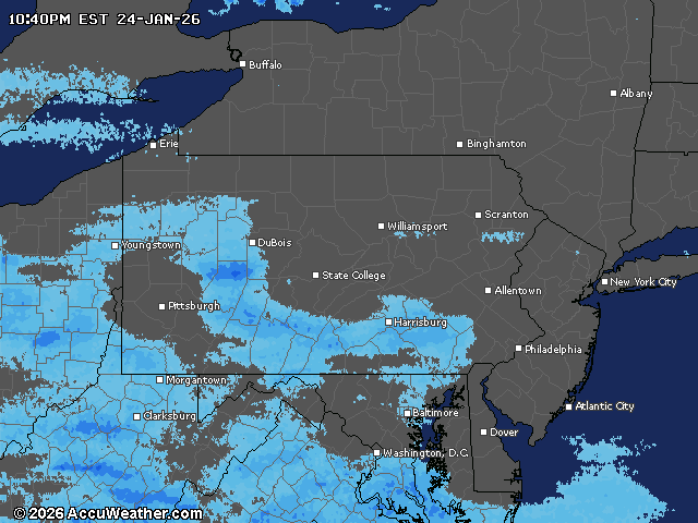
Current weather radar