
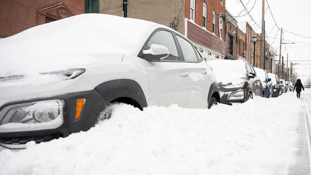
Pennsylvania Gov. Josh Shapiro and PennDOT Secretary Mike Carroll will provide an update today on the commonwealth’s winter storm response and thank PennDOT crew members for their work.The news conference was scheduled for Monday at noon in Bensalem, Pa., but it has not yet started.When it happens, WGAL will livestream it in the video player above. You may need to refresh this page to see it.Winter storm breakdown: What happenedArctic air + high pressure followed Friday’s cold front, keeping bitter cold in place through the weekend.Sunday storm system brought a wintry mix: snow, sleet, and pockets of freezing rain/freezing drizzle.Snow totals: 7–15 inches across the region.North of I-81: mostly all snow.South of I-81: snow plus ~1–2 inches of sleet in some areas.Why precipitation changed: a warm layer aloft developed while cold air stayed near the surface.What caused the warm layer: offshore low pressure pulled in milder Atlantic air (ocean temps ~41°F) and southwesterly winds aloft (5,000–7,000 ft) added warmth from the Gulf region.How sleet formed: snow melted in the warm layer, then refroze into ice pellets as it fell back into colder air.How freezing rain formed: raindrops became supercooled in a shallow cold layer and froze on contact (trees, power lines, bridges, roads), creating slick spots.Impacts: light precipitation rates kept ice accumulation minimal.
BENSALEM, Pa. —
Pennsylvania Gov. Josh Shapiro and PennDOT Secretary Mike Carroll will provide an update today on the commonwealth’s winter storm response and thank PennDOT crew members for their work.
The news conference was scheduled for Monday at noon in Bensalem, Pa., but it has not yet started.
When it happens, WGAL will livestream it in the video player above. You may need to refresh this page to see it.
Winter storm breakdown: What happened
Arctic air + high pressure followed Friday’s cold front, keeping bitter cold in place through the weekend.Sunday storm system brought a wintry mix: snow, sleet, and pockets of freezing rain/freezing drizzle.Snow totals: 7–15 inches across the region.North of I-81: mostly all snow.South of I-81: snow plus ~1–2 inches of sleet in some areas.Why precipitation changed: a warm layer aloft developed while cold air stayed near the surface.What caused the warm layer: offshore low pressure pulled in milder Atlantic air (ocean temps ~41°F) and southwesterly winds aloft (5,000–7,000 ft) added warmth from the Gulf region.How sleet formed: snow melted in the warm layer, then refroze into ice pellets as it fell back into colder air.How freezing rain formed: raindrops became supercooled in a shallow cold layer and froze on contact (trees, power lines, bridges, roads), creating slick spots.Impacts: light precipitation rates kept ice accumulation minimal.