A prolonged and potentially record-setting arctic air mass is gripping the Lehigh Valley, Poconos and northwestern New Jersey, bringing life-threatening wind chills and dangerously low temperatures through the end of the week.
Forecasters also are tracking the possibility of another weekend snowstorm, following Sunday’s 11.8 inches that represented record snow for Jan. 25 at Lehigh Valley International Airport.
Daytime highs will struggle to reach 20 degrees, with overnight lows expected to plummet below zero, according to the National Weather Service forecast. These extreme cold conditions could pose serious risks to human health and infrastructure.
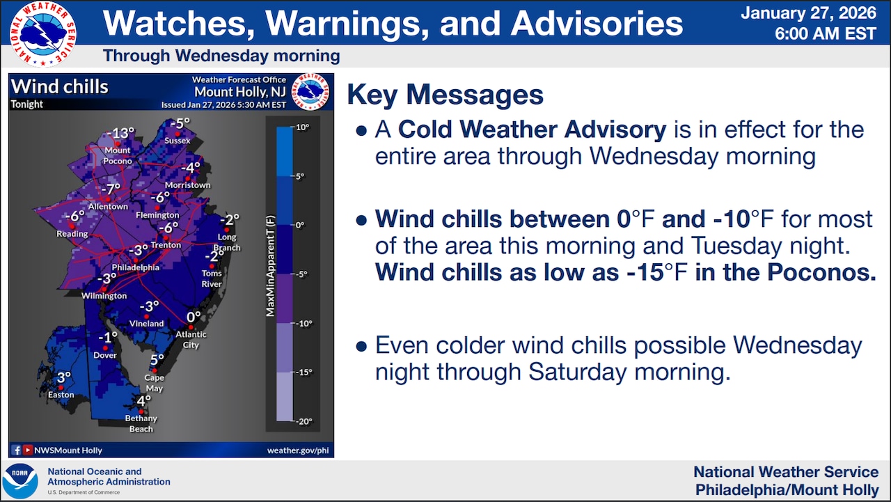
The National Weather Service issued a Cold Weather Advisory until 10 a.m. Wednesday for the entire region.
Temperatures are expected to remain well below freezing. Wind chills will range from zero to negative 10 degrees Fahrenheit for most areas, dropping even lower to negative 15 degrees in the Poconos. Residents are strongly advised to limit outdoor exposure, dress in multiple layers, and protect exposed skin to prevent frostbite and hypothermia.
Wednesday through Friday will see continued extreme cold, with daytime highs only reaching the mid to upper teens. Overnight lows will consistently drop to single digits or below zero across the region. Wind gusts could exacerbate the cold, pushing wind chills to potentially dangerous levels, especially northwest of the I-95 corridor where values could approach negative 20 degrees.
Looking ahead, meteorologists are monitoring the potential for a coastal storm next weekend. While details remain uncertain, there’s a possibility of snow, with probabilities ranging from 20 to 50% depending on location. The cold air mass is expected to persist through the weekend and into early next week, maintaining frigid conditions.
Climate records may be challenged during this cold spell, with several local weather stations potentially setting record low temperatures and record low maximum temperatures.
At Lehigh Valley International Airport, the record low and record low maximum temperatures are as follows:
Jan. 29: minus 9 (1963) and 12 (1977)Jan. 30: minus 5 (1928) and 14 (1934)Jan. 31: minus 9 (1948) and 14 (2019)
Residents should prepare for extended periods of extreme cold by ensuring home heating systems are functioning, protecting pipes, and checking on vulnerable neighbors and pets.
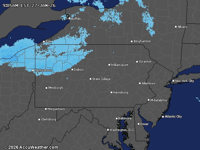
Current weather radar